
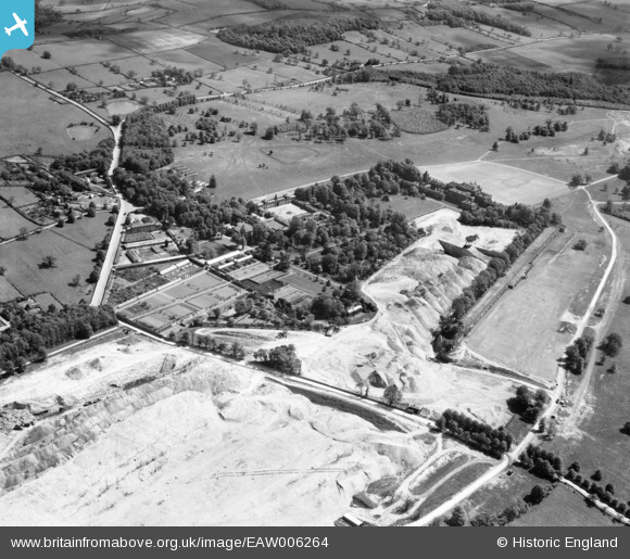
EAW006264 ENGLAND (1947). Quarrying around Wentworth Woodhouse Gardens, Wentworth, 1947
© Copyright OpenStreetMap contributors and licensed by the OpenStreetMap Foundation. 2026. Cartography is licensed as CC BY-SA.
Nearby Images (6)
EAW006264

EAW005600

EAW005599

EAW006262

EAW005598

EAW006263

Details
| Title | [EAW006264] Quarrying around Wentworth Woodhouse Gardens, Wentworth, 1947 |
| Reference | EAW006264 |
| Date | 25-May-1947 |
| Link | |
| Place name | WENTWORTH |
| Parish | WENTWORTH |
| District | |
| Country | ENGLAND |
| Easting / Northing | 439229, 397792 |
| Longitude / Latitude | -1.408886349744, 53.475141333833 |
| National Grid Reference | SK392978 |
Pins
Be the first to add a comment to this image!