
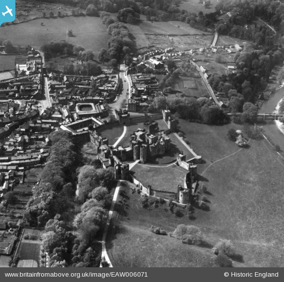
EAW006071 ENGLAND (1947). Alnwick Castle, Alnwick, 1947. This image has been produced from a print.
© Copyright OpenStreetMap contributors and licensed by the OpenStreetMap Foundation. 2026. Cartography is licensed as CC BY-SA.
Nearby Images (11)
EAW006071

EPW059884

EAW006068

EPW059886

EAW006072

EAW006069

EPW040691

EPW059881

EAW006070

EPW059882

EPW040693

Details
| Title | [EAW006071] Alnwick Castle, Alnwick, 1947. This image has been produced from a print. |
| Reference | EAW006071 |
| Date | 21-May-1947 |
| Link | |
| Place name | ALNWICK |
| Parish | ALNWICK |
| District | |
| Country | ENGLAND |
| Easting / Northing | 418696, 613566 |
| Longitude / Latitude | -1.704641563572, 55.415633101532 |
| National Grid Reference | NU187136 |
