
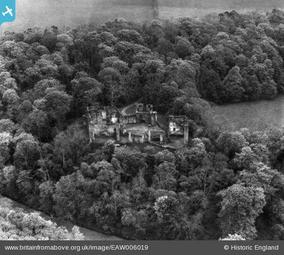
EAW006019 ENGLAND (1947). Berry Pomeroy Castle, Berry Pomeroy, 1947. This image has been produced from a print.
© Copyright OpenStreetMap contributors and licensed by the OpenStreetMap Foundation. 2025. Cartography is licensed as CC BY-SA.
Nearby Images (5)
EAW006019

EAW006021

EAW006020

EAW006017

EAW006018

Details
| Title | [EAW006019] Berry Pomeroy Castle, Berry Pomeroy, 1947. This image has been produced from a print. |
| Reference | EAW006019 |
| Date | 18-May-1947 |
| Link | |
| Place name | BERRY POMEROY |
| Parish | BERRY POMEROY |
| District | |
| Country | ENGLAND |
| Easting / Northing | 283897, 62299 |
| Longitude / Latitude | -3.6354918907075, 50.448426251906 |
| National Grid Reference | SX839623 |
Pins
Be the first to add a comment to this image!