
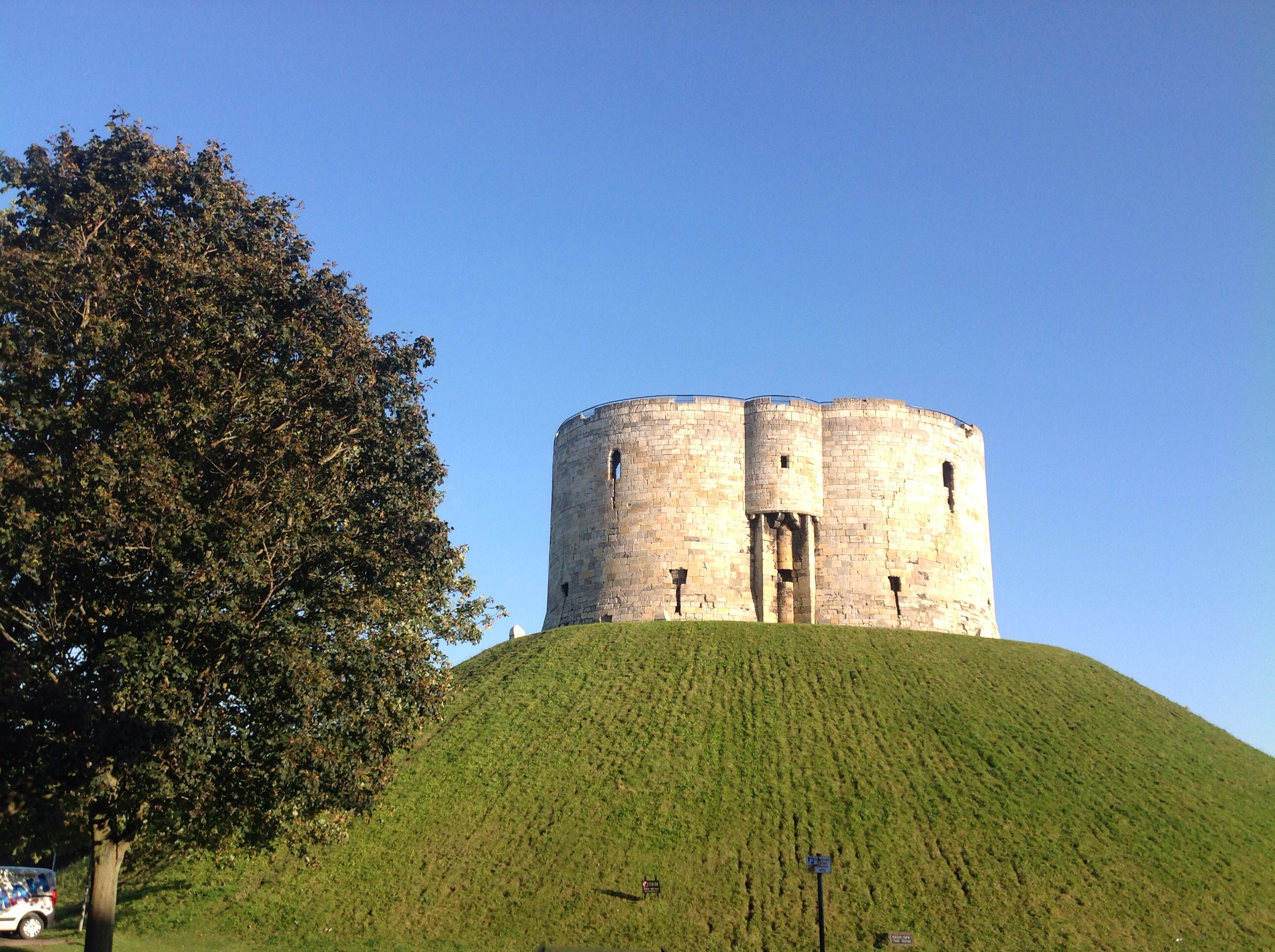
EAW005744 ENGLAND (1947). Clifford's Tower, York, 1947

© Copyright OpenStreetMap contributors and licensed by the OpenStreetMap Foundation. 2026. Cartography is licensed as CC BY-SA.
Nearby Images (8)
EAW005744

EAW005745

EAW005748

EPW016071

EAW005747

EAW005749

EAW049618

EAW005746

Details
| Title | [EAW005744] Clifford's Tower, York, 1947 |
| Reference | EAW005744 |
| Date | 15-May-1947 |
| Link | |
| Place name | YORK |
| Parish | |
| District | |
| Country | ENGLAND |
| Easting / Northing | 460446, 451491 |
| Longitude / Latitude | -1.0787327432346, 53.955778597265 |
| National Grid Reference | SE604515 |
Pins


User Comment Contributions
Clifford's Tower 28/08/2014 |

Class31 |
Thursday 28th of August 2014 08:33:02 PM |