
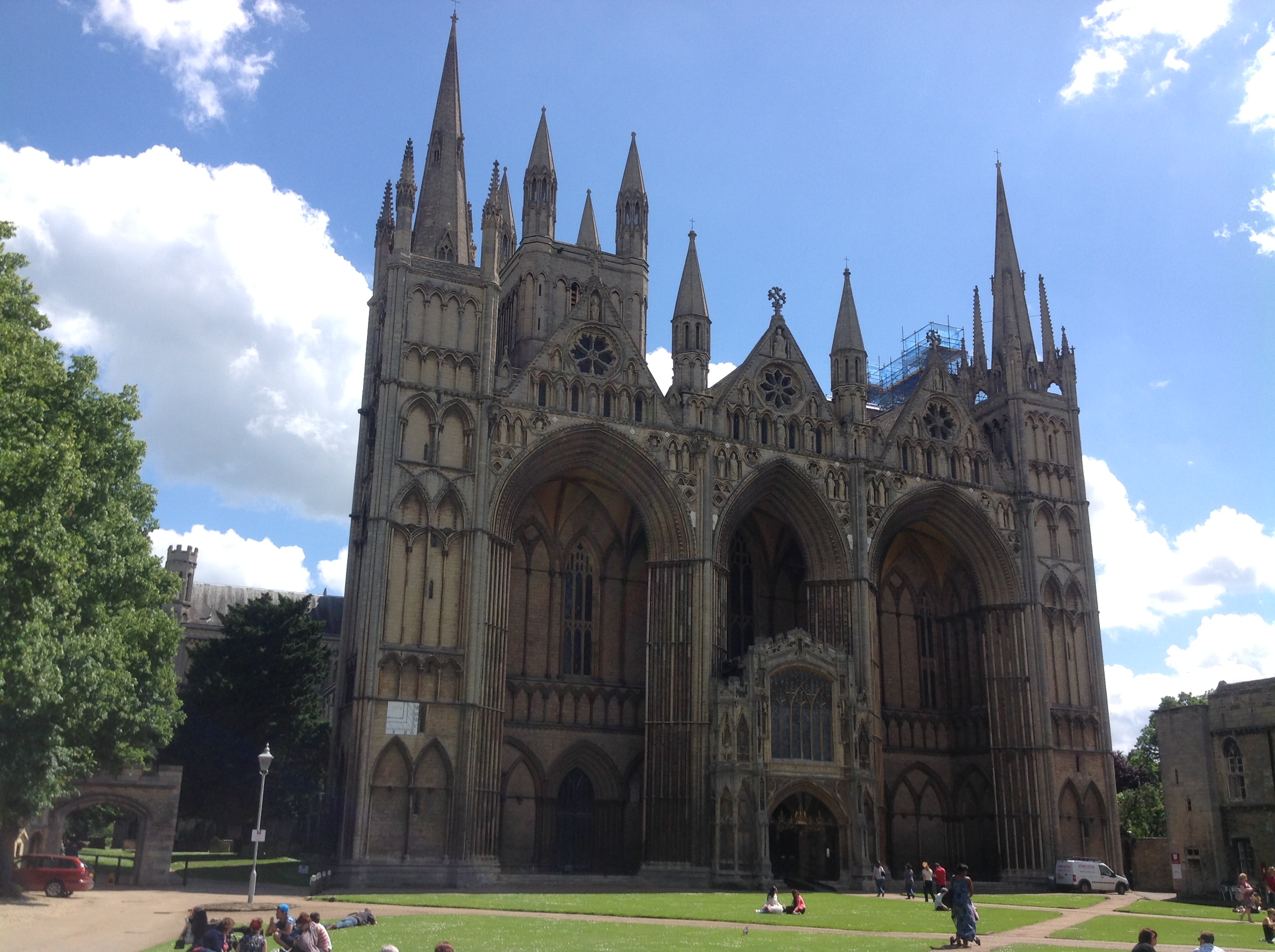
EAW005689 ENGLAND (1947). Peterborough Cathedral and the city centre, Peterborough, 1947

© Copyright OpenStreetMap contributors and licensed by the OpenStreetMap Foundation. 2026. Cartography is licensed as CC BY-SA.
Nearby Images (13)
EAW005689

EPW044908

EPW009853

EAW005687

EPW039170

EPW044907

EPW044909

EAW046612

EPW050307

EPW009852

EAW046611

EAW005688

EAW009524

Details
| Title | [EAW005689] Peterborough Cathedral and the city centre, Peterborough, 1947 |
| Reference | EAW005689 |
| Date | 15-May-1947 |
| Link | |
| Place name | PETERBOROUGH |
| Parish | |
| District | |
| Country | ENGLAND |
| Easting / Northing | 519339, 298655 |
| Longitude / Latitude | -0.23886211091611, 52.57224765862 |
| National Grid Reference | TL193987 |
Pins

Matt Aldred edob.mattaldred.com |
Friday 8th of March 2024 03:03:52 PM | |
|
Matt Aldred edob.mattaldred.com |
Sunday 13th of March 2022 12:29:14 PM | |

wiferiley |
Thursday 15th of July 2021 07:39:59 PM |
User Comment Contributions

Guildhall & St. John the Baptist Church, Peterborough , 10/06/2014 |

Class31 |
Saturday 9th of April 2016 10:45:14 AM |

Peterborough Cathedral, properly the Cathedral Church of St Peter, St Paul and St Andrew – also known as Saint Peter's Cathedral, Peterborough , 10/06/2014 |
Class31 |
Wednesday 11th of June 2014 09:23:44 AM |
Peterborough Cathedral, properly the Cathedral Church of St Peter, St Paul and St Andrew – also known as Saint Peter's Cathedral, Peterborough , 10/06/2014 |
Class31 |
Wednesday 11th of June 2014 08:20:36 AM |