
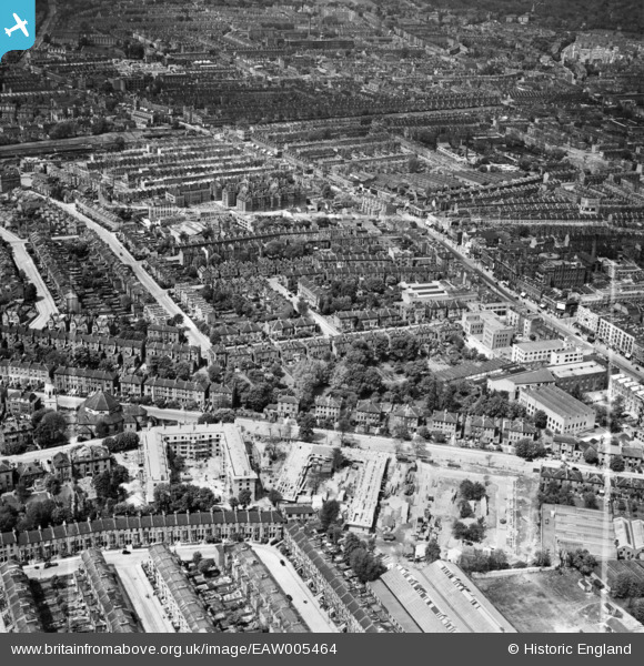
EAW005464 ENGLAND (1947). Construction of Hollins House and McCall House, Tufnell Park, 1947. This image was marked by Aerofilms Ltd for photo editing.
© Copyright OpenStreetMap contributors and licensed by the OpenStreetMap Foundation. 2026. Cartography is licensed as CC BY-SA.
Nearby Images (4)
EAW005464

EAW005465

EAW005463

EAW005462

Details
| Title | [EAW005464] Construction of Hollins House and McCall House, Tufnell Park, 1947. This image was marked by Aerofilms Ltd for photo editing. |
| Reference | EAW005464 |
| Date | May-1947 |
| Link | |
| Place name | TUFNELL PARK |
| Parish | |
| District | |
| Country | ENGLAND |
| Easting / Northing | 529999, 186133 |
| Longitude / Latitude | -0.12449765823854, 51.558601482216 |
| National Grid Reference | TQ300861 |
