
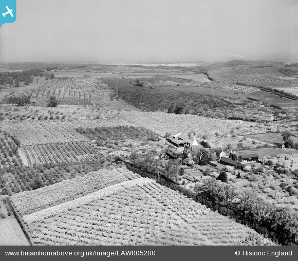
EAW005200 ENGLAND (1947). Orchards at Mates Farm (Manor House Farm), Betsham, from the south-east, 1947
© Copyright OpenStreetMap contributors and licensed by the OpenStreetMap Foundation. 2026. Cartography is licensed as CC BY-SA.
Nearby Images (3)
EAW005200
, Betsham, from the south-east, 1947")
EAW005202
, Betsham, 1947")
EAW005199
, Betsham, from the east, 1947")
Details
| Title | [EAW005200] Orchards at Mates Farm (Manor House Farm), Betsham, from the south-east, 1947 |
| Reference | EAW005200 |
| Date | 9-May-1947 |
| Link | |
| Place name | BETSHAM |
| Parish | SOUTHFLEET |
| District | |
| Country | ENGLAND |
| Easting / Northing | 560500, 171129 |
| Longitude / Latitude | 0.30837167553619, 51.415933212321 |
| National Grid Reference | TQ605711 |
Pins

Farm Buildings |
Wednesday 25th of September 2013 02:11:34 PM |
User Comment Contributions

farm buildings |
Farm Buildings |
Wednesday 25th of September 2013 02:11:46 PM |