
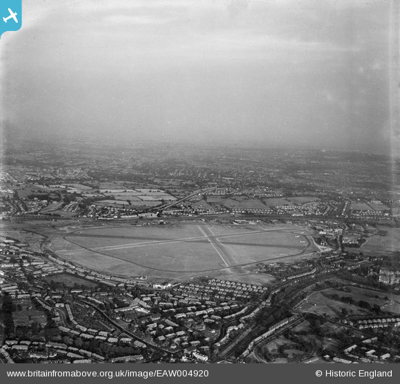
EAW004920 ENGLAND (1947). RAF Hendon airfield, Hendon, from the west, 1947
© Copyright OpenStreetMap contributors and licensed by the OpenStreetMap Foundation. 2026. Cartography is licensed as CC BY-SA.
Nearby Images (6)
EAW004920

EPW019311

EPW019312

EPW015980

EPW017588

EPW005047

Details
| Title | [EAW004920] RAF Hendon airfield, Hendon, from the west, 1947 |
| Reference | EAW004920 |
| Date | April-1947 |
| Link | |
| Place name | HENDON |
| Parish | |
| District | |
| Country | ENGLAND |
| Easting / Northing | 520993, 190670 |
| Longitude / Latitude | -0.25279674395197, 51.601385113931 |
| National Grid Reference | TQ210907 |
Pins

Matt Aldred edob.mattaldred.com |
Monday 10th of April 2023 05:14:46 PM | |
|
Matt Aldred edob.mattaldred.com |
Monday 10th of April 2023 05:14:28 PM |