
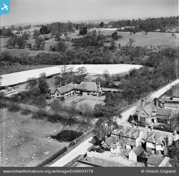
EAW004778 ENGLAND (1947). The Old Manor House, Benenden, from the south, 1947
© Copyright OpenStreetMap contributors and licensed by the OpenStreetMap Foundation. 2026. Cartography is licensed as CC BY-SA.
Nearby Images (6)
EAW004778

EAW004776

EAW004775

EAW004777

EAW004773A

EAW004774

Details
| Title | [EAW004778] The Old Manor House, Benenden, from the south, 1947 |
| Reference | EAW004778 |
| Date | April-1947 |
| Link | |
| Place name | BENENDEN |
| Parish | BENENDEN |
| District | |
| Country | ENGLAND |
| Easting / Northing | 580616, 133025 |
| Longitude / Latitude | 0.57816733681444, 51.067565613687 |
| National Grid Reference | TQ806330 |
