
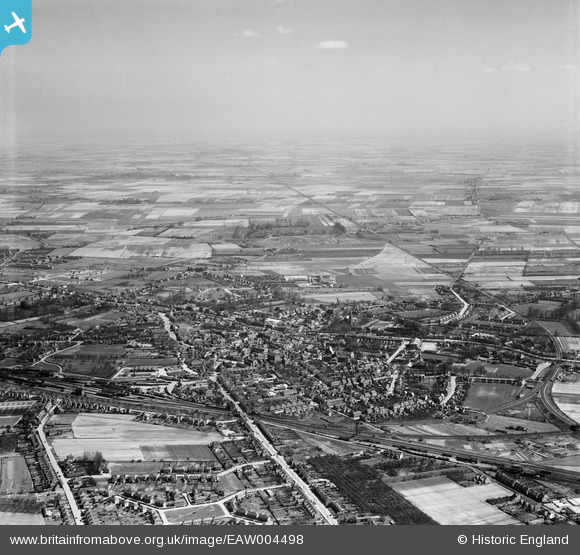
EAW004498 ENGLAND (1947). The town and surrounding fenland, Spalding, from the west, 1947
© Copyright OpenStreetMap contributors and licensed by the OpenStreetMap Foundation. 2026. Cartography is licensed as CC BY-SA.
Nearby Images (6)
EAW004498

EAW004499

EPW031854

EPW031856

EPW031855

EPW031870

Details
| Title | [EAW004498] The town and surrounding fenland, Spalding, from the west, 1947 |
| Reference | EAW004498 |
| Date | 16-April-1947 |
| Link | |
| Place name | SPALDING |
| Parish | |
| District | |
| Country | ENGLAND |
| Easting / Northing | 524358, 322522 |
| Longitude / Latitude | -0.15582167688469, 52.785593697914 |
| National Grid Reference | TF244225 |
Pins

Matt Aldred edob.mattaldred.com |
Sunday 10th of March 2024 04:47:23 PM | |

ChrisB |
Friday 25th of July 2014 09:42:06 AM | |
|
ChrisB |
Friday 25th of July 2014 09:40:17 AM | |
|
ChrisB |
Friday 25th of July 2014 09:15:50 AM | |
|
ChrisB |
Friday 25th of July 2014 09:11:06 AM | |
|
ChrisB |
Friday 25th of July 2014 09:08:25 AM | |
|
ChrisB |
Friday 25th of July 2014 09:05:54 AM | |
|
ChrisB |
Friday 25th of July 2014 09:04:25 AM | |
|
ChrisB |
Friday 25th of July 2014 09:01:10 AM | |
|
Roverlass |
Wednesday 26th of March 2014 01:45:16 PM | |

bescotbeast |
Thursday 27th of February 2014 07:32:22 PM | |
|
bescotbeast |
Thursday 27th of February 2014 07:30:34 PM |