
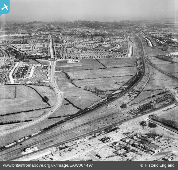
EAW004497 ENGLAND (1947). Northolt Junction, Victoria Road and environs, South Ruislip, from the south-west, 1947
© Copyright OpenStreetMap contributors and licensed by the OpenStreetMap Foundation. 2026. Cartography is licensed as CC BY-SA.
Nearby Images (2)
EAW004497

EAW004496

Details
| Title | [EAW004497] Northolt Junction, Victoria Road and environs, South Ruislip, from the south-west, 1947 |
| Reference | EAW004497 |
| Date | 14-April-1947 |
| Link | |
| Place name | SOUTH RUISLIP |
| Parish | |
| District | |
| Country | ENGLAND |
| Easting / Northing | 511722, 185293 |
| Longitude / Latitude | -0.38832636996884, 51.554968071414 |
| National Grid Reference | TQ117853 |
Pins

Post-war prefabs |
Wednesday 6th of November 2019 08:56:41 AM | |

Des Elmes |
Sunday 10th of April 2016 09:33:53 PM | |
|
Des Elmes |
Sunday 10th of April 2016 09:30:12 PM | |
|
Des Elmes |
Sunday 10th of April 2016 09:29:17 PM | |
|
Des Elmes |
Sunday 10th of April 2016 06:30:35 PM | |
|
headpin |
Monday 6th of October 2014 10:10:58 AM |
User Comment Contributions
The earlier Northolt Junction became South Ruislip in 1942, i.e 5 years before this photo was taken, so the title of the photo is not really correct |
moses72 |
Monday 16th of June 2014 12:38:40 PM |