
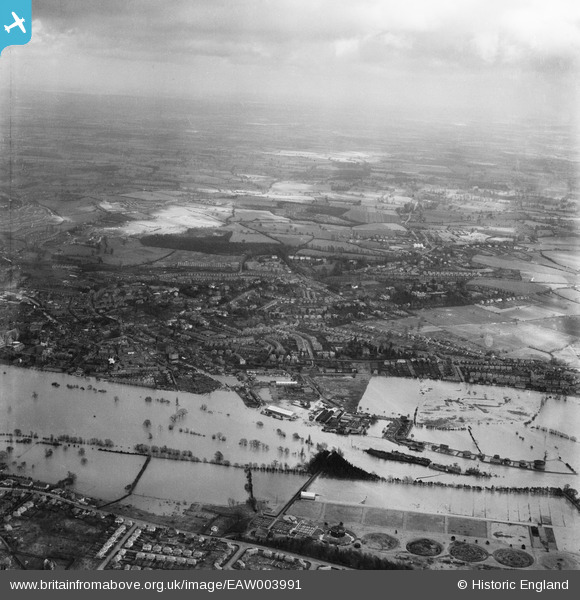
EAW003991 ENGLAND (1947). Flooding along the River Severn at Diglis, from the west, 1947
© Copyright OpenStreetMap contributors and licensed by the OpenStreetMap Foundation. 2026. Cartography is licensed as CC BY-SA.
Nearby Images (3)
EAW003991

EPW048087

EAW046117

Details
| Title | [EAW003991] Flooding along the River Severn at Diglis, from the west, 1947 |
| Reference | EAW003991 |
| Date | 21-March-1947 |
| Link | |
| Place name | DIGLIS |
| Parish | |
| District | |
| Country | ENGLAND |
| Easting / Northing | 385119, 253789 |
| Longitude / Latitude | -2.2176680546374, 52.181746693429 |
| National Grid Reference | SO851538 |
Pins
Be the first to add a comment to this image!