
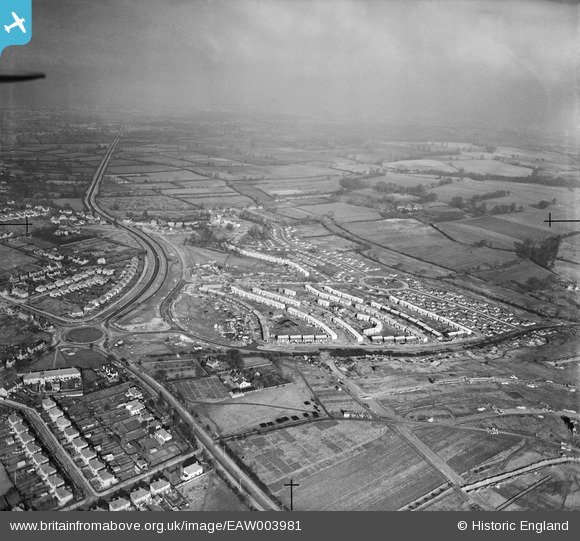
EAW003981 ENGLAND (1947). Prefabricated housing at Barton and environs, Barton, from the south-east, 1947
© Copyright OpenStreetMap contributors and licensed by the OpenStreetMap Foundation. 2026. Cartography is licensed as CC BY-SA.
Nearby Images (3)
EAW003981

EAW003876

EAW003877

Details
| Title | [EAW003981] Prefabricated housing at Barton and environs, Barton, from the south-east, 1947 |
| Reference | EAW003981 |
| Date | 20-March-1947 |
| Link | |
| Place name | BARTON |
| Parish | |
| District | |
| Country | ENGLAND |
| Easting / Northing | 455775, 207486 |
| Longitude / Latitude | -1.1917322268525, 51.762822373496 |
| National Grid Reference | SP558075 |
Pins
Be the first to add a comment to this image!