
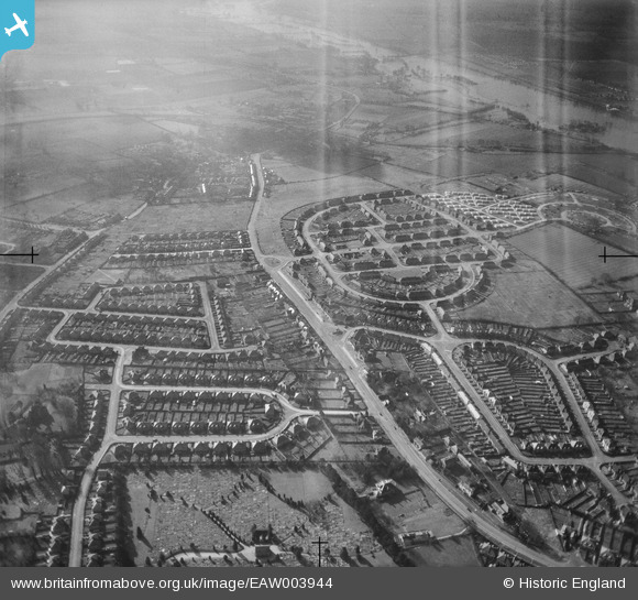
EAW003944 ENGLAND (1947). Rose Hill housing development, Rose Hill, 1947. This image has been produced from a damaged negative.
© Copyright OpenStreetMap contributors and licensed by the OpenStreetMap Foundation. 2026. Cartography is licensed as CC BY-SA.
Nearby Images (3)
EAW003944

EPW047782

EAW050093

Details
| Title | [EAW003944] Rose Hill housing development, Rose Hill, 1947. This image has been produced from a damaged negative. |
| Reference | EAW003944 |
| Date | 20-March-1947 |
| Link | |
| Place name | ROSE HILL |
| Parish | |
| District | |
| Country | ENGLAND |
| Easting / Northing | 453621, 203457 |
| Longitude / Latitude | -1.2235652190492, 51.726806875 |
| National Grid Reference | SP536035 |
Pins

Roland Martin |
Monday 23rd of June 2014 04:45:31 PM | |
|
Roland Martin |
Thursday 8th of May 2014 07:06:59 PM |
User Comment Contributions
Harding's Yard. Harding was a haulier. In this workshop was held the Fairlie Road street party for the 1953 Coronation. |
Roland Martin |
Monday 23rd of June 2014 04:41:04 PM |