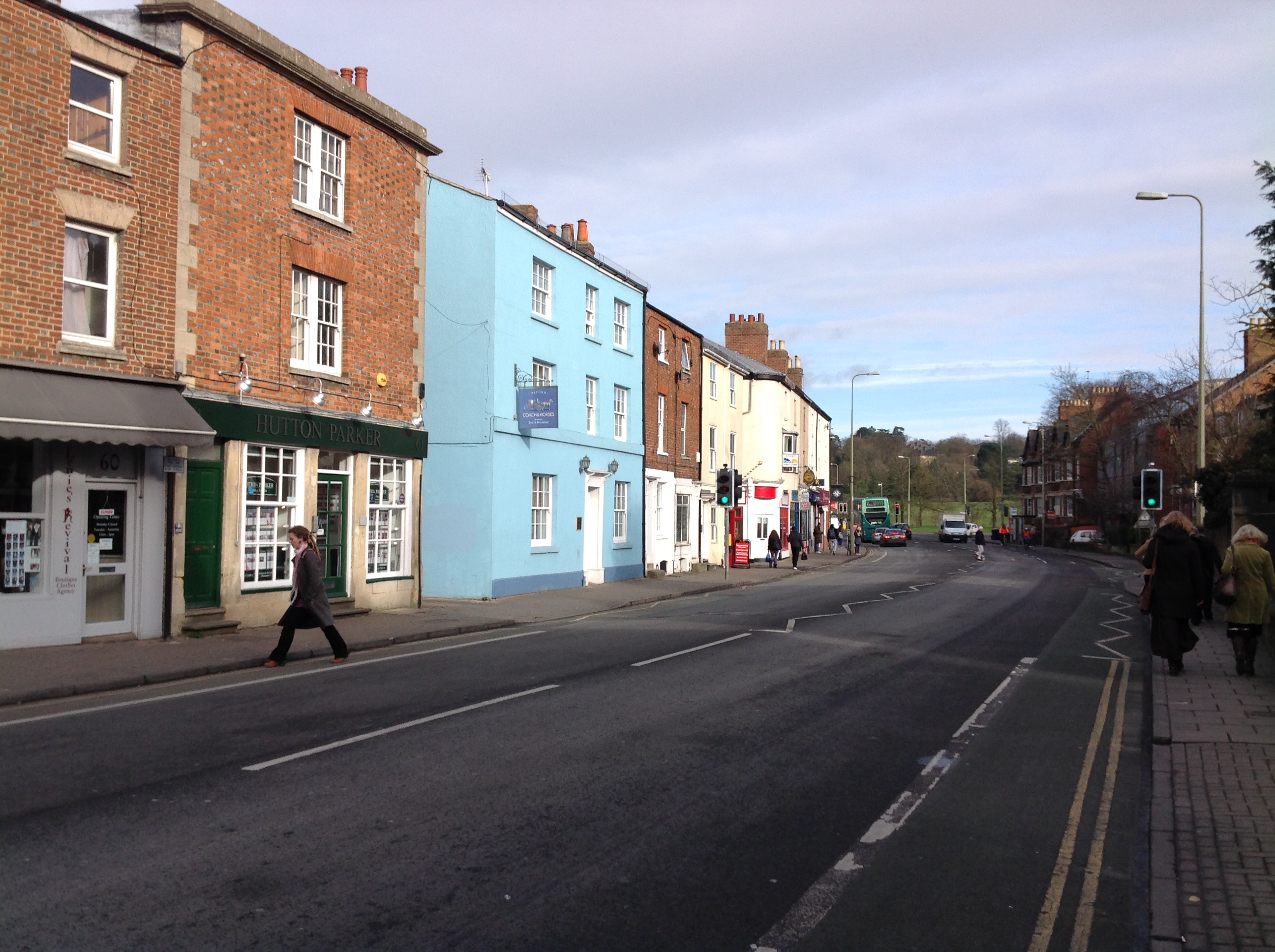
EAW003932 ENGLAND (1947). Flooding by Magdalen Bridge and the University Running Track, Oxford, 1947

© Copyright OpenStreetMap contributors and licensed by the OpenStreetMap Foundation. 2026. Cartography is licensed as CC BY-SA.
Nearby Images (3)
EAW003932

EPW052779

EPW000823

Details
| Title | [EAW003932] Flooding by Magdalen Bridge and the University Running Track, Oxford, 1947 |
| Reference | EAW003932 |
| Date | 20-March-1947 |
| Link | |
| Place name | OXFORD |
| Parish | |
| District | |
| Country | ENGLAND |
| Easting / Northing | 452381, 205794 |
| Longitude / Latitude | -1.2411668745341, 51.747936917915 |
| National Grid Reference | SP524058 |
Pins

Matt Aldred edob.mattaldred.com |
Sunday 2nd of March 2025 10:29:36 PM | |
|
Matt Aldred edob.mattaldred.com |
Sunday 2nd of March 2025 10:28:33 PM | |
|
Matt Aldred edob.mattaldred.com |
Sunday 2nd of March 2025 10:28:03 PM | |

Class31 |
Friday 9th of October 2015 10:25:59 PM | |
|
Class31 |
Friday 9th of October 2015 10:25:18 PM | |
|
Class31 |
Friday 9th of October 2015 10:21:36 PM | |
|
Class31 |
Friday 9th of October 2015 10:19:42 PM | |
|
Class31 |
Friday 9th of October 2015 10:18:49 PM | |
|
Class31 |
Friday 9th of October 2015 10:17:34 PM | |

City View |
Friday 14th of February 2014 08:28:25 PM | |
|
City View |
Friday 14th of February 2014 08:26:43 PM |