
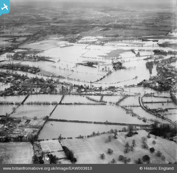
EAW003810 ENGLAND (1947). Flooding around Fishery, Taplow, 1947
© Copyright OpenStreetMap contributors and licensed by the OpenStreetMap Foundation. 2026. Cartography is licensed as CC BY-SA.
Nearby Images (3)
EAW003810

EAW003811

EPW000908

Details
| Title | [EAW003810] Flooding around Fishery, Taplow, 1947 |
| Reference | EAW003810 |
| Date | 19-March-1947 |
| Link | |
| Place name | TAPLOW |
| Parish | TAPLOW |
| District | |
| Country | ENGLAND |
| Easting / Northing | 490100, 180099 |
| Longitude / Latitude | -0.7014727597704, 51.512142150441 |
| National Grid Reference | SU901801 |
Pins
Be the first to add a comment to this image!