
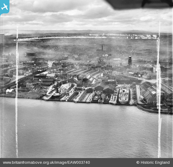
EAW003740 ENGLAND (1947). Clover's Graving Docks and environs, Birkenhead, from the north-east, 1947. This image was marked by Aerofilms Ltd for photo editing.
© Copyright OpenStreetMap contributors and licensed by the OpenStreetMap Foundation. 2026. Cartography is licensed as CC BY-SA.
Nearby Images (28)
EAW003740

EAW003745

EAW000412

EAW000414

EAW003744

EAW008661

EAW008562

EAW000415

EAW008662

EAW008666

EAW008565

EAW008657

EAW003746

EAW008718

EAW008663

EAW000410

EAW008658

EAW008560

EAW008665

EAW008719

EAW008664

EAW008564

EAW008660

EAW000411

EAW000416

EAW008563

EAW008561

EAW003743

Details
| Title | [EAW003740] Clover's Graving Docks and environs, Birkenhead, from the north-east, 1947. This image was marked by Aerofilms Ltd for photo editing. |
| Reference | EAW003740 |
| Date | 25-March-1947 |
| Link | |
| Place name | BIRKENHEAD |
| Parish | |
| District | |
| Country | ENGLAND |
| Easting / Northing | 333143, 388998 |
| Longitude / Latitude | -3.0054966334883, 53.393315391663 |
| National Grid Reference | SJ331890 |
Pins

Pete65 |
Sunday 23rd of February 2014 02:27:44 AM | |
This is not a hotel. It was actually a private house called Mersey Cottage, built in the late 1820s by Joseph Harrison. |
marty99fred |
Monday 31st of March 2014 01:22:16 PM |