
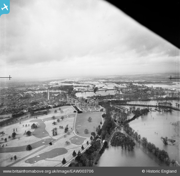
EAW003706 ENGLAND (1947). The Home Park, Windsor Castle and the surrounding flooded area, Windsor, from the east, 1947
© Copyright OpenStreetMap contributors and licensed by the OpenStreetMap Foundation. 2026. Cartography is licensed as CC BY-SA.
Nearby Images (7)
EAW003706

EAW003780

EPW022600

EPW000034

EAW006324

EAW006323

EAW003779

Details
| Title | [EAW003706] The Home Park, Windsor Castle and the surrounding flooded area, Windsor, from the east, 1947 |
| Reference | EAW003706 |
| Date | 18-March-1947 |
| Link | |
| Place name | WINDSOR |
| Parish | |
| District | |
| Country | ENGLAND |
| Easting / Northing | 497482, 176919 |
| Longitude / Latitude | -0.59599472275811, 51.48232885187 |
| National Grid Reference | SU975769 |
Pins
Be the first to add a comment to this image!
User Comment Contributions
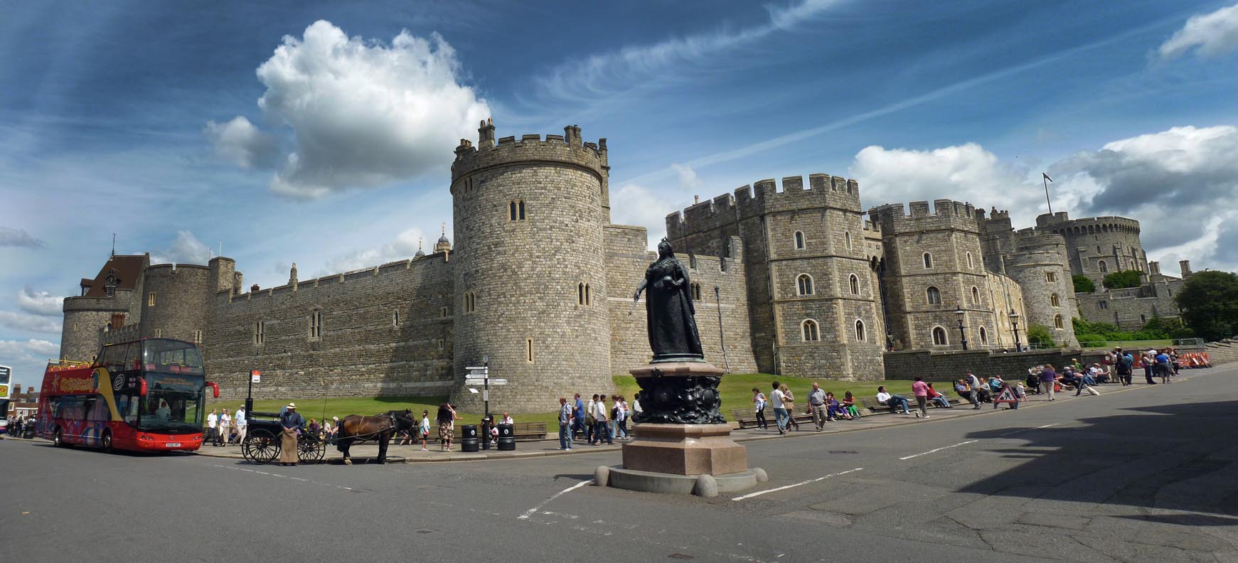
Windsor Castle |

Alan McFaden |
Thursday 20th of November 2014 09:29:24 PM |