
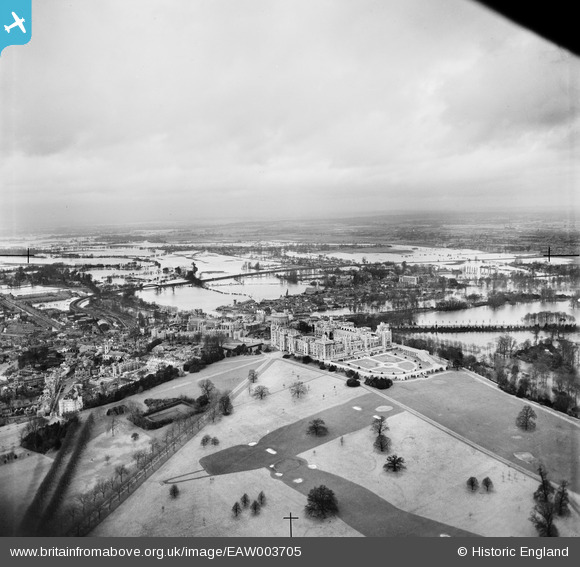
EAW003705 ENGLAND (1947). Windsor Castle and the surrounding flooded area, Windsor, from the south-east, 1947
© Copyright OpenStreetMap contributors and licensed by the OpenStreetMap Foundation. 2026. Cartography is licensed as CC BY-SA.
Nearby Images (36)
EAW003705

EPW005693

EAW038574

EAW003704

EAW006324

EPW022600

EAW006323

EPW022598

EPW046518

EPW000034

EAW021007

EPW046519

EAW003703

EAW053001

EPW046522

EPW046517

EPW005692

EPW046520

EAW003781

EPW022601

EPW034873

EAW004840

EPW053886

EPW046521

EPW053888

EPW034875

EAW004843

EPW056591

EPW056592

EPW034874

EAW004842

EPW005691

EAW003663

EPW034876

EPW005694

EPW053885

Details
| Title | [EAW003705] Windsor Castle and the surrounding flooded area, Windsor, from the south-east, 1947 |
| Reference | EAW003705 |
| Date | 18-March-1947 |
| Link | |
| Place name | WINDSOR |
| Parish | |
| District | |
| Country | ENGLAND |
| Easting / Northing | 497193, 176834 |
| Longitude / Latitude | -0.60017916782411, 51.481614462894 |
| National Grid Reference | SU972768 |
Pins
Be the first to add a comment to this image!
User Comment Contributions

Windsor Castle, 07/09/2015 |

Class31 |
Tuesday 8th of September 2015 07:57:50 PM |

Eton College Chapel, 07/09/2015 |
Class31 |
Tuesday 8th of September 2015 07:56:59 PM |
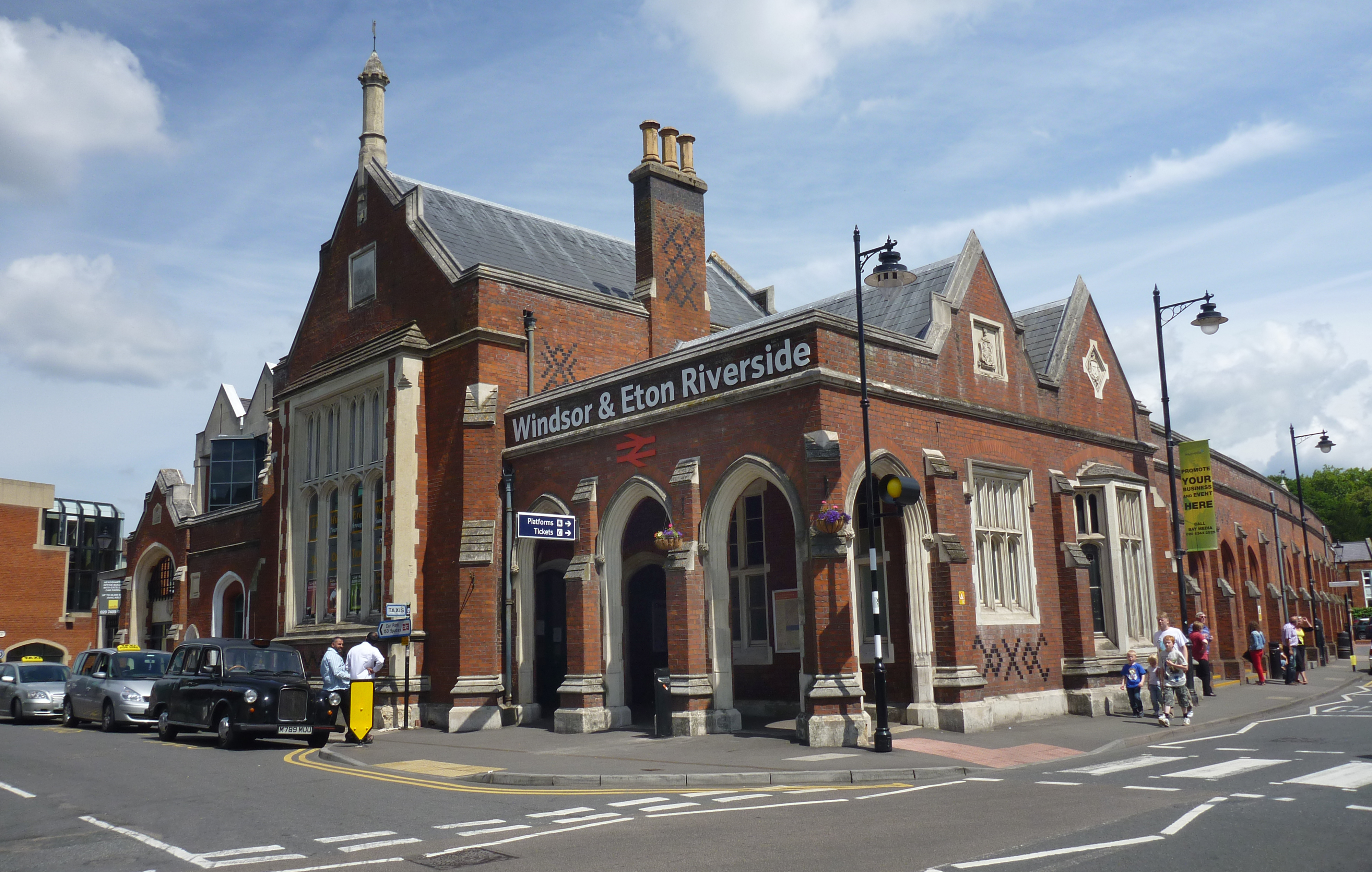
Windsor and Eton Riverside Railway Station |

Alan McFaden |
Thursday 20th of November 2014 09:16:00 PM |

Windsor and Eton Central Railway Station |
Alan McFaden |
Thursday 20th of November 2014 09:15:19 PM |
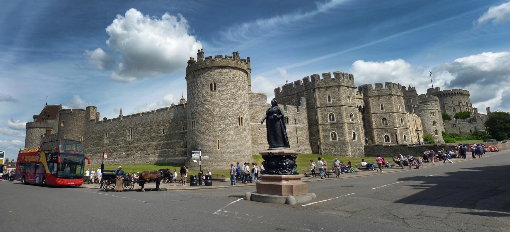
Windsor Castle |
Alan McFaden |
Thursday 20th of November 2014 09:14:26 PM |