
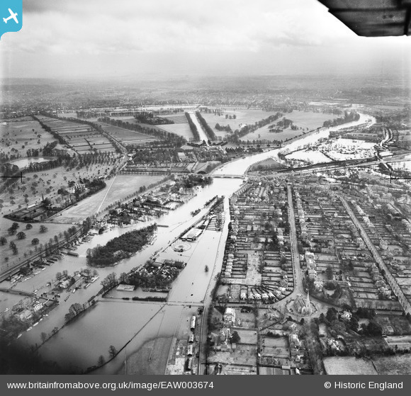
EAW003674 ENGLAND (1947). The River Thames in flood surrounding Ash Island and Hampton Court Palace, East Molesey, from the west, 1947
© Copyright OpenStreetMap contributors and licensed by the OpenStreetMap Foundation. 2026. Cartography is licensed as CC BY-SA.
Nearby Images (4)
EAW003674

EPW001714

EPR000462

EPW049593

Details
| Title | [EAW003674] The River Thames in flood surrounding Ash Island and Hampton Court Palace, East Molesey, from the west, 1947 |
| Reference | EAW003674 |
| Date | 18-March-1947 |
| Link | |
| Place name | EAST MOLESEY |
| Parish | |
| District | |
| Country | ENGLAND |
| Easting / Northing | 514755, 168739 |
| Longitude / Latitude | -0.3499721241106, 51.405558652744 |
| National Grid Reference | TQ148687 |
Pins

Matt Aldred edob.mattaldred.com |
Friday 27th of September 2024 06:55:02 PM | |
|
Matt Aldred edob.mattaldred.com |
Friday 27th of September 2024 06:54:50 PM |