
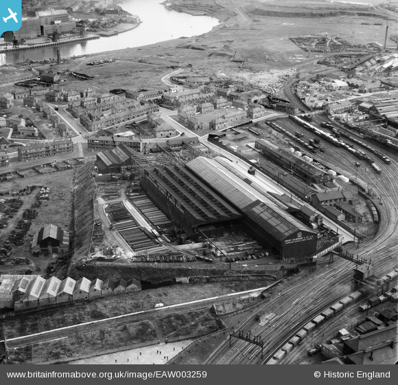
EAW003259 ENGLAND (1946). Wright Anderson & Co Ltd Engineering Works, Gateshead, 1946
© Copyright OpenStreetMap contributors and licensed by the OpenStreetMap Foundation. 2026. Cartography is licensed as CC BY-SA.
Nearby Images (16)
EAW003259

EAW003254

EAW003260

EAW003263

EAW003251

EAW003255

EAW003261

EAW003252

EAW003258

EPW057815

EAW003253

EAW003257

EAW003262

EAW003250

EAW003256

EPW048231

Details
| Title | [EAW003259] Wright Anderson & Co Ltd Engineering Works, Gateshead, 1946 |
| Reference | EAW003259 |
| Date | 23-October-1946 |
| Link | |
| Place name | GATESHEAD |
| Parish | |
| District | |
| Country | ENGLAND |
| Easting / Northing | 425999, 563517 |
| Longitude / Latitude | -1.5938734778461, 54.965524367006 |
| National Grid Reference | NZ260635 |
Pins

PinzaC55 |
Thursday 14th of November 2024 10:53:58 PM | |
|
redmist |
Wednesday 28th of September 2022 08:17:29 PM | |
|
redmist |
Wednesday 28th of September 2022 08:16:29 PM | |
|
Norman Fay |
Monday 23rd of May 2016 02:29:13 PM |