
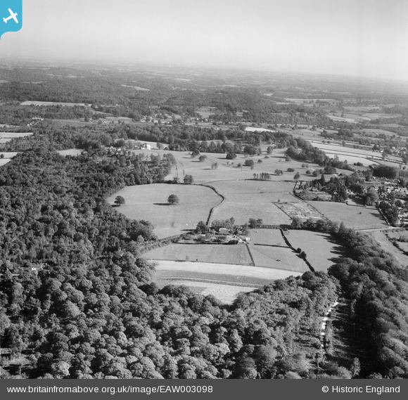
EAW003098 ENGLAND (1946). Martin's Farm and Chase Wood, Frant, from the west, 1946
© Copyright OpenStreetMap contributors and licensed by the OpenStreetMap Foundation. 2026. Cartography is licensed as CC BY-SA.
Nearby Images (3)
EAW003098

EAW003104

EAW003100

Details
| Title | [EAW003098] Martin's Farm and Chase Wood, Frant, from the west, 1946 |
| Reference | EAW003098 |
| Date | 11-October-1946 |
| Link | |
| Place name | FRANT |
| Parish | FRANT |
| District | |
| Country | ENGLAND |
| Easting / Northing | 558426, 135859 |
| Longitude / Latitude | 0.26294625148329, 51.0995871107 |
| National Grid Reference | TQ584359 |
Pins

Class31 |
Wednesday 11th of September 2013 08:54:32 AM | |
|
Class31 |
Tuesday 10th of September 2013 11:39:01 PM | |
|
Class31 |
Tuesday 10th of September 2013 10:56:53 PM | |
|
Class31 |
Tuesday 10th of September 2013 10:50:26 PM | |
|
Class31 |
Tuesday 10th of September 2013 10:48:30 PM | |
|
Class31 |
Saturday 7th of September 2013 08:55:11 PM |
User Comment Contributions
Thanks for finding this group; we'll update the catalogue and post the new records here in due course. You may like to know that the original Aerofilms Ltd Register entry is "Burroughs Wellcome & Co". Yours, Katy Britain from Above Cataloguing Team Leader |
Katy Whitaker |
Friday 1st of November 2013 02:34:50 PM |
View looking east. |
Class31 |
Tuesday 10th of September 2013 11:25:33 PM |
This series of photos is of Frant just south of Tunbridge Wells. |
Class31 |
Tuesday 10th of September 2013 10:34:21 PM |
Eureka After much effort! |
Class31 |
Tuesday 10th of September 2013 10:32:36 PM |
This series from eaw003098 to eaw003104 |

Chris Willis |
Friday 23rd of August 2013 11:40:43 PM |