
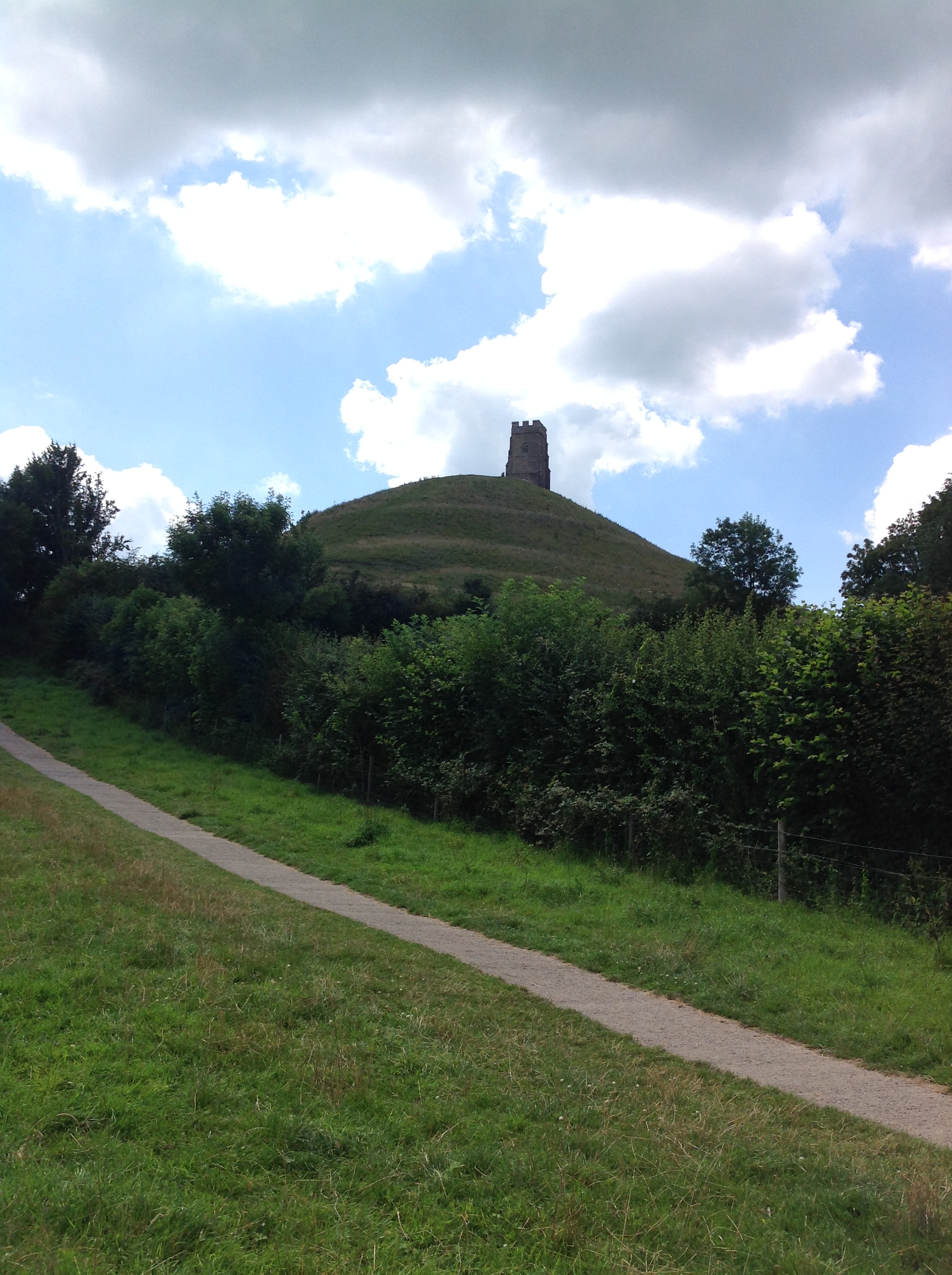
EAW002949 ENGLAND (1946). St Michael's Tower on Tor Hill, Glastonbury Tor, 1946

© Copyright OpenStreetMap contributors and licensed by the OpenStreetMap Foundation. 2026. Cartography is licensed as CC BY-SA.
Nearby Images (4)
EAW002949

EPW011715

EAW002948

EPW011714

Details
| Title | [EAW002949] St Michael's Tower on Tor Hill, Glastonbury Tor, 1946 |
| Reference | EAW002949 |
| Date | 2-October-1946 |
| Link | |
| Place name | GLASTONBURY TOR |
| Parish | GLASTONBURY |
| District | |
| Country | ENGLAND |
| Easting / Northing | 351284, 138739 |
| Longitude / Latitude | -2.696508897153, 51.145314815128 |
| National Grid Reference | ST513387 |
Pins
Be the first to add a comment to this image!
User Comment Contributions
St Michael's Tower on Tor Hill, Glastonbury Tor, Glastonbury, 22/07/2014 |

Class31 |
Thursday 24th of July 2014 03:08:57 PM |

St Michael's Tower on Tor Hill, Glastonbury Tor, Glastonbury, 22/07/2014 |
Class31 |
Thursday 24th of July 2014 03:01:38 PM |

St Michael's Tower on Tor Hill, Glastonbury Tor, Glastonbury, 22/07/2014 |
Class31 |
Thursday 24th of July 2014 03:00:42 PM |