
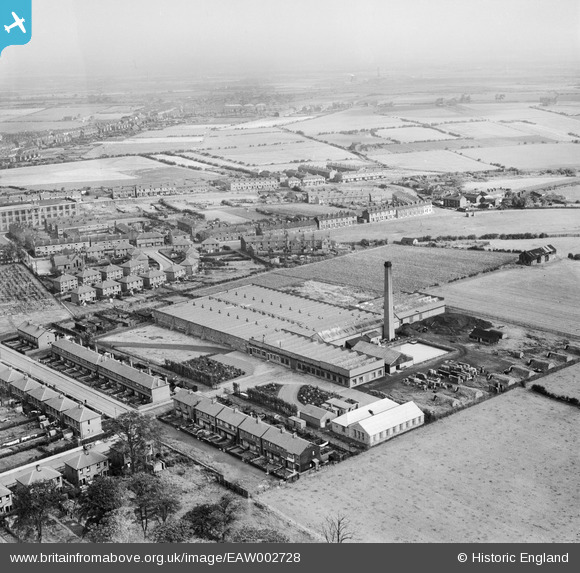
EAW002728 ENGLAND (1946). The Makerfield Cotton Weaving Mill, Ashton-in-Makerfield, from the south-west, 1946
© Copyright OpenStreetMap contributors and licensed by the OpenStreetMap Foundation. 2026. Cartography is licensed as CC BY-SA.
Nearby Images (10)
EAW002728

EAW002721

EAW002719

EAW002725

EAW002720

EAW002723

EAW002724

EAW002727

EAW002726

EAW002722

Details
| Title | [EAW002728] The Makerfield Cotton Weaving Mill, Ashton-in-Makerfield, from the south-west, 1946 |
| Reference | EAW002728 |
| Date | 12-September-1946 |
| Link | |
| Place name | ASHTON-IN-MAKERFIELD |
| Parish | |
| District | |
| Country | ENGLAND |
| Easting / Northing | 357965, 398596 |
| Longitude / Latitude | -2.6335001530178, 53.482151843198 |
| National Grid Reference | SJ580986 |
