
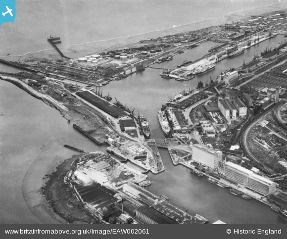
EAW002061 ENGLAND (1946). Avonmouth Docks, Avonmouth, 1946. This image has been produced from a print.
© Copyright OpenStreetMap contributors and licensed by the OpenStreetMap Foundation. 2026. Cartography is licensed as CC BY-SA.
Nearby Images (18)
EAW002061

EPW027950

EPW046968

EPW046969

EAW002243

EAW002056

EPW005529

EPW005530

EPW005504

EAW002070

EPW005533

EPW019269

EPW005518

EPW005537

EAW002073

EPW043047

EAW002062

EPW044777

Details
| Title | [EAW002061] Avonmouth Docks, Avonmouth, 1946. This image has been produced from a print. |
| Reference | EAW002061 |
| Date | 31-July-1946 |
| Link | |
| Place name | AVONMOUTH |
| Parish | |
| District | |
| Country | ENGLAND |
| Easting / Northing | 351015, 178421 |
| Longitude / Latitude | -2.7058106197657, 51.502116381329 |
| National Grid Reference | ST510784 |
Pins

Sparky |
Wednesday 13th of September 2017 06:54:27 PM | |

MB |
Saturday 13th of August 2016 11:13:51 AM | |
|
MB |
Saturday 13th of August 2016 11:11:52 AM | |
|
MB |
Saturday 13th of August 2016 11:10:50 AM | |
|
MB |
Saturday 13th of August 2016 11:08:20 AM | |
|
MB |
Saturday 13th of August 2016 11:05:30 AM | |
|
MB |
Thursday 21st of July 2016 10:29:34 AM | |
|
MB |
Thursday 21st of July 2016 10:28:05 AM | |
More details for this flour mill complex here: http://www.engineering-timelines.com/scripts/engineeringItem.asp?id=1175 |
MB |
Thursday 21st of July 2016 10:53:29 AM |