
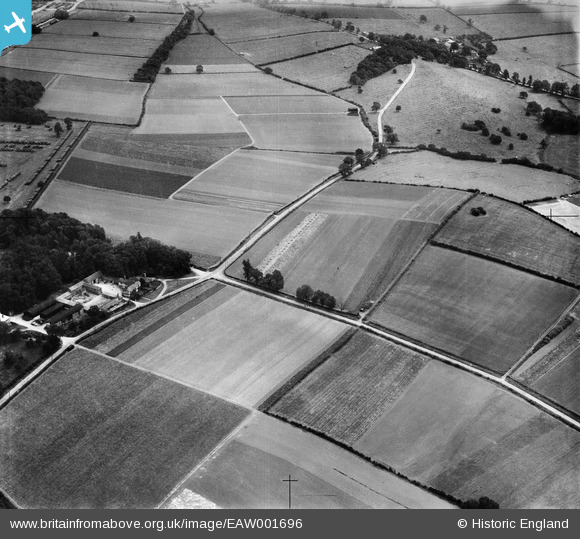
EAW001696 ENGLAND (1946). Fields to the south of Donington Park Farm, Wilson, 1946
© Copyright OpenStreetMap contributors and licensed by the OpenStreetMap Foundation. 2025. Cartography is licensed as CC BY-SA.
Nearby Images (3)
EAW001696

EAW001694

EAW001695

Details
| Title | [EAW001696] Fields to the south of Donington Park Farm, Wilson, 1946 |
| Reference | EAW001696 |
| Date | 12-July-1946 |
| Link | |
| Place name | WILSON |
| Parish | BREEDON ON THE HILL |
| District | |
| Country | ENGLAND |
| Easting / Northing | 441504, 325306 |
| Longitude / Latitude | -1.3840044781017, 52.823356586232 |
| National Grid Reference | SK415253 |
