
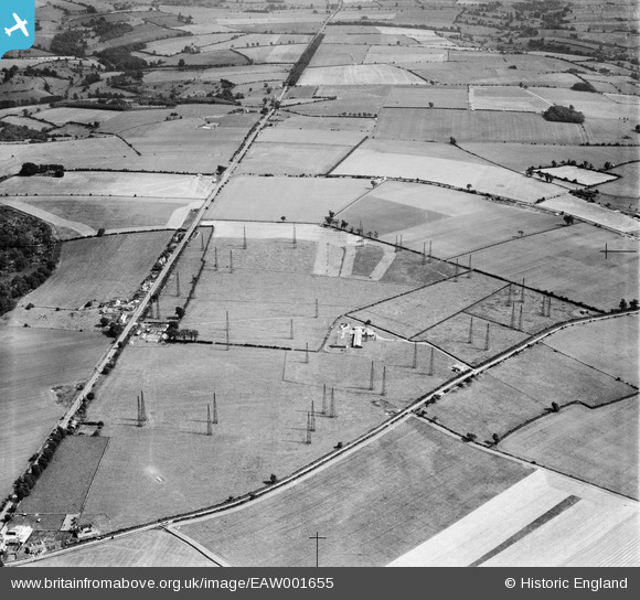
EAW001655 ENGLAND (1946). Winstone Radio Station, Winstone, 1946
© Copyright OpenStreetMap contributors and licensed by the OpenStreetMap Foundation. 2026. Cartography is licensed as CC BY-SA.
Nearby Images (5)
EAW001655

EAW001650

EAW001654

EAW001652

EAW001653

Details
| Title | [EAW001655] Winstone Radio Station, Winstone, 1946 |
| Reference | EAW001655 |
| Date | 12-July-1946 |
| Link | |
| Place name | WINSTONE |
| Parish | WINSTONE |
| District | |
| Country | ENGLAND |
| Easting / Northing | 396803, 210092 |
| Longitude / Latitude | -2.0463560588642, 51.789025275151 |
| National Grid Reference | SO968101 |
Pins
Be the first to add a comment to this image!