
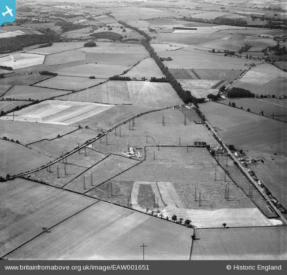
EAW001651 ENGLAND (1946). Winstone Radio Station, Winstone, 1946
© Copyright OpenStreetMap contributors and licensed by the OpenStreetMap Foundation. 2026. Cartography is licensed as CC BY-SA.
Nearby Images (2)
EAW001651

EAW001653

Details
| Title | [EAW001651] Winstone Radio Station, Winstone, 1946 |
| Reference | EAW001651 |
| Date | 12-July-1946 |
| Link | |
| Place name | WINSTONE |
| Parish | WINSTONE |
| District | |
| Country | ENGLAND |
| Easting / Northing | 396570, 210396 |
| Longitude / Latitude | -2.0497375320527, 51.791757480343 |
| National Grid Reference | SO966104 |
Pins

Jed |
Sunday 25th of October 2015 03:16:09 PM |