
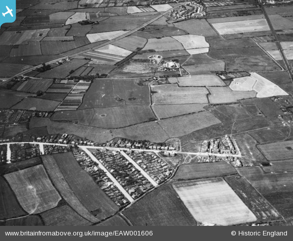
EAW001606 ENGLAND (1946). Carr Houses, Moreton, 1946. This image has been produced from a print.
© Copyright OpenStreetMap contributors and licensed by the OpenStreetMap Foundation. 2026. Cartography is licensed as CC BY-SA.
Nearby Images (3)
EAW001606

EAW001296

EAW001295

Details
| Title | [EAW001606] Carr Houses, Moreton, 1946. This image has been produced from a print. |
| Reference | EAW001606 |
| Date | 11-July-1946 |
| Link | |
| Place name | MORETON |
| Parish | |
| District | |
| Country | ENGLAND |
| Easting / Northing | 324981, 389963 |
| Longitude / Latitude | -3.1284538882039, 53.400892023218 |
| National Grid Reference | SJ250900 |
Pins

KeithS |
Tuesday 9th of September 2014 10:02:20 PM |