
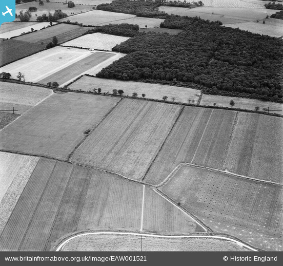
EAW001521 ENGLAND (1946). Fields either side of Pantlings Lane near Upney Wood, Kelvedon, 1946
© Copyright OpenStreetMap contributors and licensed by the OpenStreetMap Foundation. 2025. Cartography is licensed as CC BY-SA.
Nearby Images (7)
EAW001521

EAW001518

EAW001520

EAW001522

EAW001523

EAW001519

EAW001524

Details
| Title | [EAW001521] Fields either side of Pantlings Lane near Upney Wood, Kelvedon, 1946 |
| Reference | EAW001521 |
| Date | 5-July-1946 |
| Link | |
| Place name | KELVEDON |
| Parish | KELVEDON |
| District | |
| Country | ENGLAND |
| Easting / Northing | 583741, 220682 |
| Longitude / Latitude | 0.6682819598144, 51.853994447382 |
| National Grid Reference | TL837207 |
Pins
Be the first to add a comment to this image!