
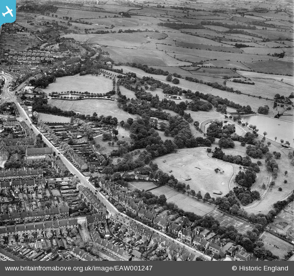
EAW001247 ENGLAND (1946). Dartmouth Park, Mayer's Green, 1946
© Copyright OpenStreetMap contributors and licensed by the OpenStreetMap Foundation. 2026. Cartography is licensed as CC BY-SA.
Nearby Images (7)
EAW001247

EAW001249

EAW001250

EAW001246

EAW001252

EAW001251

EPW021863

Details
| Title | [EAW001247] Dartmouth Park, Mayer's Green, 1946 |
| Reference | EAW001247 |
| Date | 24-June-1946 |
| Link | |
| Place name | MAYER'S GREEN |
| Parish | |
| District | |
| Country | ENGLAND |
| Easting / Northing | 401243, 291294 |
| Longitude / Latitude | -1.9816793737986, 52.519161194886 |
| National Grid Reference | SP012913 |
Pins

DaveT |
Wednesday 27th of May 2026 09:19:16 AM | |
|
DaveT |
Wednesday 7th of May 2014 02:54:02 PM | |
|
DaveT |
Wednesday 7th of May 2014 02:52:29 PM | |
|
DaveT |
Wednesday 27th of November 2013 07:47:58 PM |