
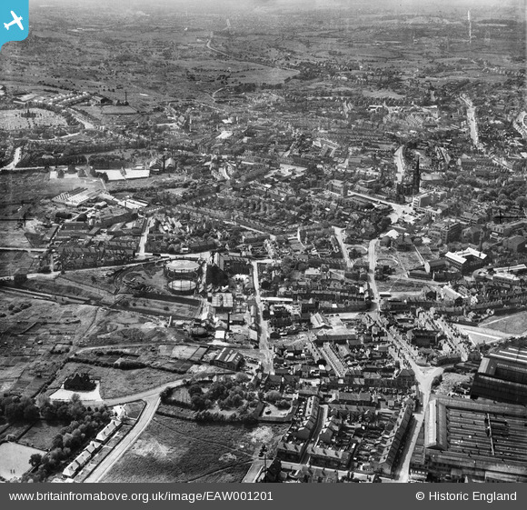
EAW001201 ENGLAND (1946). The southern part of the town, Dudley, from the east, 1946
© Copyright OpenStreetMap contributors and licensed by the OpenStreetMap Foundation. 2026. Cartography is licensed as CC BY-SA.
Nearby Images (5)
EAW001201

EAW001200

EAW001197

EAW001198

EAW001199

Details
| Title | [EAW001201] The southern part of the town, Dudley, from the east, 1946 |
| Reference | EAW001201 |
| Date | 21-June-1946 |
| Link | |
| Place name | DUDLEY |
| Parish | |
| District | |
| Country | ENGLAND |
| Easting / Northing | 394456, 289778 |
| Longitude / Latitude | -2.0816879146222, 52.50550412737 |
| National Grid Reference | SO945898 |
Pins

Steve |
Wednesday 25th of May 2022 02:34:00 PM | |
|
Steve |
Tuesday 15th of December 2020 03:55:21 PM | |

Sparky |
Sunday 24th of September 2017 12:43:16 PM | |
|
Sparky |
Sunday 24th of September 2017 12:42:40 PM | |
|
The Circles |
Wednesday 12th of November 2014 05:39:49 PM | |
|
Martin |
Thursday 26th of December 2013 12:28:15 PM |