
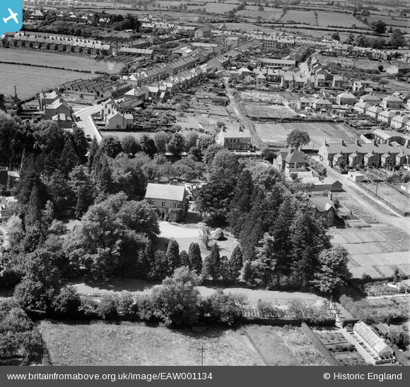
EAW001134 ENGLAND (1946). The Grange and environs, Earl Shilton, 1946
© Copyright OpenStreetMap contributors and licensed by the OpenStreetMap Foundation. 2026. Cartography is licensed as CC BY-SA.
Nearby Images (3)
EAW001134

EAW001133

EAW001135

Details
| Title | [EAW001134] The Grange and environs, Earl Shilton, 1946 |
| Reference | EAW001134 |
| Date | 20-June-1946 |
| Link | |
| Place name | EARL SHILTON |
| Parish | EARL SHILTON |
| District | |
| Country | ENGLAND |
| Easting / Northing | 446401, 297231 |
| Longitude / Latitude | -1.3152902208623, 52.570562070868 |
| National Grid Reference | SP464972 |

