
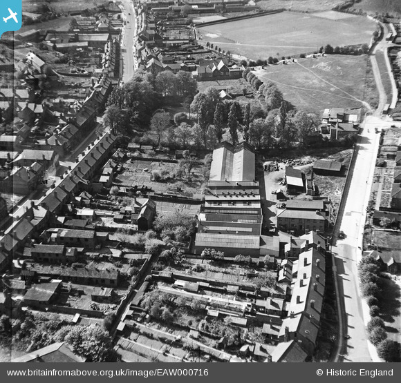
EAW000716 ENGLAND (1946). Short Cross, Halesowen, 1946
© Copyright OpenStreetMap contributors and licensed by the OpenStreetMap Foundation. 2026. Cartography is licensed as CC BY-SA.
Nearby Images (5)
EAW000716

EAW000718

EAW000714

EAW000715

EAW000717

Details
| Title | [EAW000716] Short Cross, Halesowen, 1946 |
| Reference | EAW000716 |
| Date | 9-May-1946 |
| Link | |
| Place name | HALESOWEN |
| Parish | |
| District | |
| Country | ENGLAND |
| Easting / Northing | 396410, 283806 |
| Longitude / Latitude | -2.0528324187486, 52.451826211421 |
| National Grid Reference | SO964838 |
Pins

Mr Jauncey |
Sunday 8th of September 2013 03:40:28 PM | |
|
Mr Jauncey |
Thursday 29th of August 2013 06:03:27 PM | |
|
Mr Jauncey |
Thursday 29th of August 2013 06:03:09 PM | |
|
Mr Jauncey |
Thursday 29th of August 2013 04:42:03 PM |