
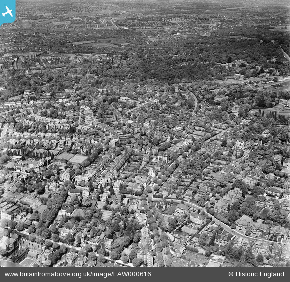
EAW000616 ENGLAND (1946). The residential area to the south of West Heath, Hampstead, 1946
© Copyright OpenStreetMap contributors and licensed by the OpenStreetMap Foundation. 2026. Cartography is licensed as CC BY-SA.
Nearby Images (3)
EAW000616

EAW014555

EAW000618

Details
| Title | [EAW000616] The residential area to the south of West Heath, Hampstead, 1946 |
| Reference | EAW000616 |
| Date | 10-May-1946 |
| Link | |
| Place name | HAMPSTEAD |
| Parish | |
| District | |
| Country | ENGLAND |
| Easting / Northing | 525612, 185993 |
| Longitude / Latitude | -0.18780449471503, 51.55833738451 |
| National Grid Reference | TQ256860 |
Pins
Be the first to add a comment to this image!