
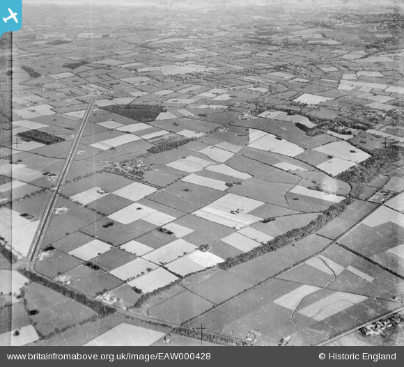
EAW000428 ENGLAND (1946). Shotwicklodge Farm and surrounding countryside, New Covert, 1946
© Copyright OpenStreetMap contributors and licensed by the OpenStreetMap Foundation. 2025. Cartography is licensed as CC BY-SA.
Nearby Images (3)
EAW000428

EAW000425

EAW000430
 and Dingle Wood, New Covert, 1946")
Details
| Title | [EAW000428] Shotwicklodge Farm and surrounding countryside, New Covert, 1946 |
| Reference | EAW000428 |
| Date | 18-April-1946 |
| Link | |
| Place name | NEW COVERT |
| Parish | SHOTWICK PARK |
| District | |
| Country | ENGLAND |
| Easting / Northing | 335105, 371057 |
| Longitude / Latitude | -2.9723221630202, 53.232298541035 |
| National Grid Reference | SJ351711 |
Pins

2ev |
Monday 30th of August 2021 09:33:42 PM | |
|
Bunn72 |
Monday 2nd of February 2015 09:28:04 PM | |
|
Bunn72 |
Monday 2nd of February 2015 09:25:12 PM | |
|
Bunn72 |
Monday 2nd of February 2015 09:24:43 PM | |
|
Bunn72 |
Monday 2nd of February 2015 09:23:48 PM | |
|
Bunn72 |
Monday 2nd of February 2015 09:23:16 PM | |
|
Bunn72 |
Monday 2nd of February 2015 09:21:59 PM | |
|
Bunn72 |
Monday 2nd of February 2015 09:21:26 PM | |
|
Bunn72 |
Monday 2nd of February 2015 09:20:59 PM | |
|
Bunn72 |
Monday 2nd of February 2015 09:18:52 PM | |
|
Bunn72 |
Monday 2nd of February 2015 09:18:08 PM |