
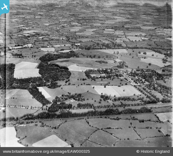
EAW000325 ENGLAND (1946). Crewe Park and Hall and surrounding countryside, from the south-west, Crewe, 1946
© Copyright OpenStreetMap contributors and licensed by the OpenStreetMap Foundation. 2026. Cartography is licensed as CC BY-SA.
Nearby Images (2)
EAW000325

 0°
0m
0°
0m
EAW000326
 107°
260m
107°
260m
Details
| Title | [EAW000325] Crewe Park and Hall and surrounding countryside, from the south-west, Crewe, 1946 |
| Reference | EAW000325 |
| Date | 19-April-1946 |
| Link | |
| Place name | CREWE GREEN |
| Parish | CREWE GREEN |
| District | |
| Country | ENGLAND |
| Easting / Northing | 372897, 353989 |
| Longitude / Latitude | -2.4046652954856, 53.082135308377 |
| National Grid Reference | SJ729540 |
Pins
Be the first to add a comment to this image!