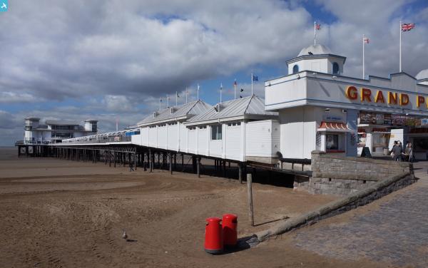
epw039934 ENGLAND (1932). The Grand Pier and the beach, Weston-super-Mare, from the south-east, 1932

© Copyright OpenStreetMap contributors and licensed by the OpenStreetMap Foundation. 2024. Cartography is licensed as CC BY-SA.
Nearby Images (25)
EPW039934

EAW016133

EPW001039

EAW016134

EAW015056

EAW025155

EPW023969

EPW023967

EAW015057

EPW023966

EPW023970

EPW051716

EPW033286

EPW024071

EPW023960

EPW051708

EPW024072

EPW048443

EPW048452

EPW039932

EPW048457

EPW048451

EPW048453

EAW015053

EPW039936

Details
| Title | [EPW039934] The Grand Pier and the beach, Weston-super-Mare, from the south-east, 1932 |
| Reference | EPW039934 |
| Date | August-1932 |
| Link | |
| Place name | WESTON-SUPER-MARE |
| Parish | WESTON-SUPER-MARE |
| District | |
| Country | ENGLAND |
| Easting / Northing | 331590, 161483 |
| Longitude / Latitude | -2.9823904923331, 51.347803946534 |
| National Grid Reference | ST316615 |
Pins
 John W |
Tuesday 10th of January 2017 09:55:51 PM | |
 Class31 |
Tuesday 12th of April 2016 07:38:02 AM | |
 Alan McFaden |
Saturday 19th of October 2013 03:17:10 PM | |
Alan McFaden |
Saturday 19th of October 2013 03:16:19 PM |