
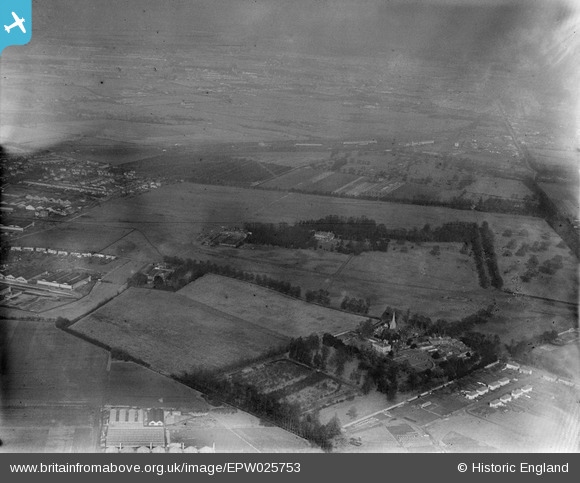
epw025753 ENGLAND (1929). Hanworth Park Aerodrome (London Air Park), Hanworth Park, from the south-west, 1929
© Copyright OpenStreetMap contributors and licensed by the OpenStreetMap Foundation. 2024. Cartography is licensed as CC BY-SA.
Nearby Images (6)
EPW025753
, Hanworth Park, from the south-west, 1929")
EPW044350

EPW044348

EPW044351

EPW044352

EPW044349

Details
| Title | [EPW025753] Hanworth Park Aerodrome (London Air Park), Hanworth Park, from the south-west, 1929 |
| Reference | EPW025753 |
| Date | 1929 |
| Link | |
| Place name | HANWORTH PARK |
| Parish | |
| District | |
| Country | ENGLAND |
| Easting / Northing | 511180, 171947 |
| Longitude / Latitude | -0.40034752893582, 51.435108014389 |
| National Grid Reference | TQ112719 |
Pins
 Brian |
Wednesday 11th of February 2015 05:28:07 PM | |
Brian |
Sunday 8th of February 2015 09:25:33 PM | |
Brian |
Sunday 8th of February 2015 09:21:34 PM | |
Brian |
Sunday 8th of February 2015 09:18:03 PM | |
nkingdon |
Saturday 16th of November 2013 10:33:49 PM | |
nkingdon |
Saturday 16th of November 2013 10:32:10 PM | |
nkingdon |
Saturday 16th of November 2013 10:15:54 PM | |
Scapa |
Monday 31st of December 2012 12:00:53 PM |


