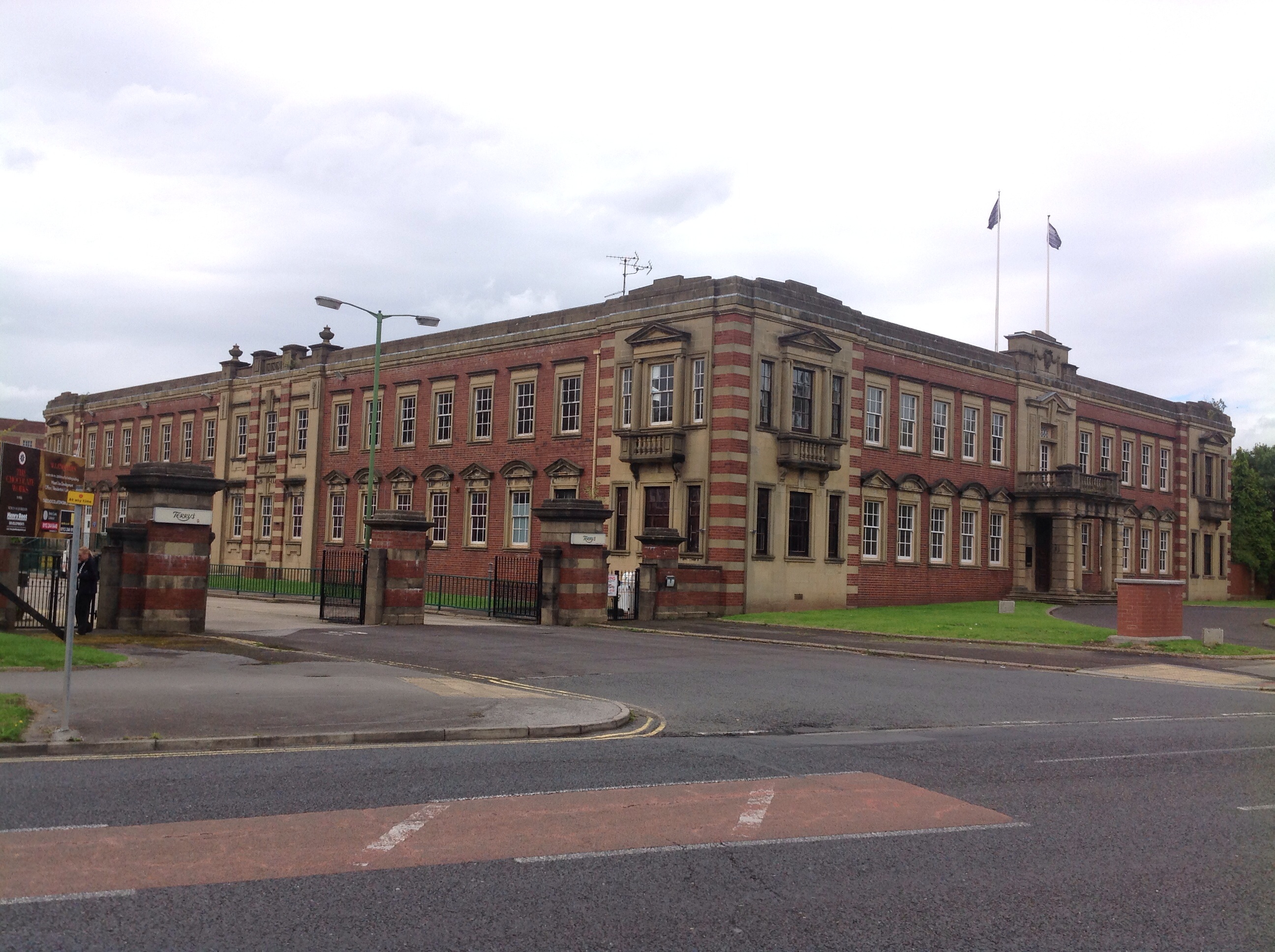
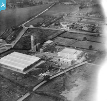
epw017226 ENGLAND (1926). Terry's Chocolate Factory, York, 1926
© Copyright OpenStreetMap contributors and licensed by the OpenStreetMap Foundation. 2024. Cartography is licensed as CC BY-SA.
Nearby Images (18)
Details
| Title | [EPW017226] Terry's Chocolate Factory, York, 1926 |
| Reference | EPW017226 |
| Date | 16-October-1926 |
| Link | |
| Place name | YORK |
| Parish | |
| District | |
| Country | ENGLAND |
| Easting / Northing | 459900, 449834 |
| Longitude / Latitude | -1.087378452869, 53.940949584895 |
| National Grid Reference | SE599498 |
Pins
 Class31 |
Sunday 20th of January 2013 10:42:05 PM | |
 Class31 |
Sunday 20th of January 2013 10:41:41 PM | |
 Class31 |
Sunday 20th of January 2013 10:40:59 PM | |
 Class31 |
Sunday 20th of January 2013 10:39:29 PM | |
 Class31 |
Sunday 20th of January 2013 10:37:45 PM | |
 Class31 |
Sunday 20th of January 2013 10:36:58 PM | |
 Class31 |
Sunday 20th of January 2013 10:35:47 PM |
User Comment Contributions
Terry's Chocolate Factory, York, 28/08/2014 |
 Class31 |
Thursday 4th of September 2014 08:50:59 PM |
Terry's Chocolate Factory, York, 28/08/2014 |
 Class31 |
Thursday 4th of September 2014 08:50:31 PM |
 Terry's Chocolate Factory, 28/08/2014 |
 Class31 |
Thursday 28th of August 2014 08:44:04 PM |
 YorkStories |
Thursday 16th of May 2013 09:57:31 PM | |
Adding to Terry's group: http://www.britainfromabove.org.uk/groups/terrys-york |
 YorkStories |
Thursday 16th of May 2013 05:19:55 PM |


![[EPW017226] Terry's Chocolate Factory, York, 1926](http://britainfromabove.org.uk/sites/all/libraries/aerofilms-images/public/100x100/EPW/017/EPW017226.jpg)
![[EPW017228] Terry's Chocolate Factory and environs, York, 1926](http://britainfromabove.org.uk/sites/all/libraries/aerofilms-images/public/100x100/EPW/017/EPW017228.jpg)
![[EPW039033] Terry's Chocolate Factory and York Racecourse, York, 1932](http://britainfromabove.org.uk/sites/all/libraries/aerofilms-images/public/100x100/EPW/039/EPW039033.jpg)
![[EPW016068] Terry's Chocolate Factory (Bishopthorpe Works), York, 1926](http://britainfromabove.org.uk/sites/all/libraries/aerofilms-images/public/100x100/EPW/016/EPW016068.jpg)
![[EPW017227] Terry's Chocolate Factory, York, 1926](http://britainfromabove.org.uk/sites/all/libraries/aerofilms-images/public/100x100/EPW/017/EPW017227.jpg)
![[EPW039025] Terry's Chocolate Factory and York Racecourse, York, 1932](http://britainfromabove.org.uk/sites/all/libraries/aerofilms-images/public/100x100/EPW/039/EPW039025.jpg)
![[EPW039031] Terry's Chocolate Factory and York Racecourse, York, 1932](http://britainfromabove.org.uk/sites/all/libraries/aerofilms-images/public/100x100/EPW/039/EPW039031.jpg)
![[EPW039026] Terry's Chocolate Factory, York, 1932](http://britainfromabove.org.uk/sites/all/libraries/aerofilms-images/public/100x100/EPW/039/EPW039026.jpg)
![[EPW039029] Terry's Chocolate Factory and York Racecourse, York, 1932](http://britainfromabove.org.uk/sites/all/libraries/aerofilms-images/public/100x100/EPW/039/EPW039029.jpg)
![[EPW039032] Terry's Chocolate Factory and York Racecourse, York, 1932](http://britainfromabove.org.uk/sites/all/libraries/aerofilms-images/public/100x100/EPW/039/EPW039032.jpg)
![[EPW039027] Terry's Chocolate Factory and York Racecourse, York, 1932](http://britainfromabove.org.uk/sites/all/libraries/aerofilms-images/public/100x100/EPW/039/EPW039027.jpg)
![[EPW039030] Terry's Chocolate Factory and York Racecourse, York, 1932](http://britainfromabove.org.uk/sites/all/libraries/aerofilms-images/public/100x100/EPW/039/EPW039030.jpg)
![[EPW039034] Terry's Chocolate Factory and stands at York Racecourse, York, 1932](http://britainfromabove.org.uk/sites/all/libraries/aerofilms-images/public/100x100/EPW/039/EPW039034.jpg)
![[EAW009405] The York Racecourse Count Stand and Grand Stand, York, 1947. This image has been produced from a print.](http://britainfromabove.org.uk/sites/all/libraries/aerofilms-images/public/100x100/EAW/009/EAW009405.jpg)
![[EAW009399] The York Racecourse County Stand and Grand Stand and Terry's Chocolate Factory (Bishopthorpe Works), York, 1947](http://britainfromabove.org.uk/sites/all/libraries/aerofilms-images/public/100x100/EAW/009/EAW009399.jpg)
![[EPW039028] Terry's Chocolate Factory and environs, York, from the south-east, 1932](http://britainfromabove.org.uk/sites/all/libraries/aerofilms-images/public/100x100/EPW/039/EPW039028.jpg)
![[EAW009398] The York Racecourse County Stand and Grand Stand, York, 1947](http://britainfromabove.org.uk/sites/all/libraries/aerofilms-images/public/100x100/EAW/009/EAW009398.jpg)
![[EAW009406] York Racecourse, York, 1947. This image has been produced from a print.](http://britainfromabove.org.uk/sites/all/libraries/aerofilms-images/public/100x100/EAW/009/EAW009406.jpg)


