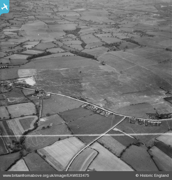
eaw033475 ENGLAND (1950). Restored opencast mining site near Carrington's Farm, Denby Village, 1950. This image was marked by Aerofilms Ltd for photo editing.
© Copyright OpenStreetMap contributors and licensed by the OpenStreetMap Foundation. 2025. Cartography is licensed as CC BY-SA.
Nearby Images (48)
EAW017955

EAW017954

EAW018412

EAW018416

EAW017985

EAW011246

EAW011249

EAW018411

EAW025923

EAW011248

EAW018413

EAW018401

EPW048666

EAW018415

EAW012054

EAW018402

EAW011250

EAW018407

EAW017963

EAW025920

EAW025912

EAW018406

EAW017962

EAW011239

EAW011241

EPW048665

EAW011247

EAW011240

EAW012053

EAW033473

EAW011242

EAW011237

EAW011236

EAW012050

EAW033474

EAW012052

EAW011235

EAW011234

EAW012046

EAW012039

EAW012040

EAW012045

EAW012056

EPW048664

EAW012043

EAW011243

EAW025913

EAW033469

Details
| Title | [EAW033475] Restored opencast mining site near Carrington's Farm, Denby Village, 1950. This image was marked by Aerofilms Ltd for photo editing. |
| Reference | EAW033475 |
| Date | 11-October-1950 |
| Link | |
| Place name | DENBY VILLAGE |
| Parish | SMALLEY |
| District | |
| Country | ENGLAND |
| Easting / Northing | 441279, 345382 |
| Longitude / Latitude | -1.3847915198146, 53.003853733369 |
| National Grid Reference | SK413454 |
Pins
 donkejf@gmail.com |
Thursday 13th of May 2021 12:13:44 PM | |
 Class31 |
Thursday 20th of August 2015 03:32:39 PM | |
Class31 |
Thursday 20th of August 2015 03:31:58 PM | |
Class31 |
Thursday 20th of August 2015 03:31:23 PM | |
Class31 |
Thursday 20th of August 2015 03:19:25 PM |