
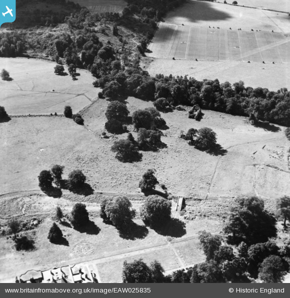
eaw025835 ENGLAND (1949). Waverley Abbey, Farnham, 1949. This image has been produced from a print.
© Copyright OpenStreetMap contributors and licensed by the OpenStreetMap Foundation. 2024. Cartography is licensed as CC BY-SA.
Nearby Images (5)
EAW025835

EAW025834

EAW025837

EAW025836

EAW025833

Details
| Title | [EAW025835] Waverley Abbey, Farnham, 1949. This image has been produced from a print. |
| Reference | EAW025835 |
| Date | 10-August-1949 |
| Link | |
| Place name | FARNHAM |
| Parish | FARNHAM |
| District | |
| Country | ENGLAND |
| Easting / Northing | 486800, 145327 |
| Longitude / Latitude | -0.75750737035569, 51.200037863865 |
| National Grid Reference | SU868453 |
Pins
Be the first to add a comment to this image!


