
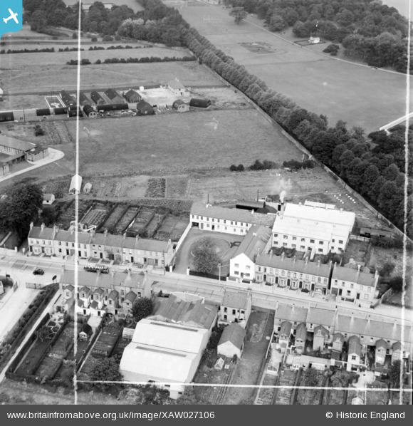
XAW027106 NORTHERN IRELAND (1949). Lurgen MNFG., Co. Ltd., 46-48 Avenue Road, Lurgan, Craigavon, Northern Ireland, 1949. Oblique aerial photograph taken facing North. This image was marked by Aerofilms Ltd for photo editing.
© Copyright OpenStreetMap contributors and licensed by the OpenStreetMap Foundation. 2024. Cartography is licensed as CC BY-SA.
Nearby Images (14)
XAW027106

XAW027107

XAW027105

XAW027108

XAW027110

XAW027109

XAW027104

XAW027111

XPW042440

XAW032763

XAW032761

XAW032764

XAW032762

XAW019261

Details
| Title | [XAW027106] Lurgen MNFG., Co. Ltd., 46-48 Avenue Road, Lurgan, Craigavon, Northern Ireland, 1949. Oblique aerial photograph taken facing North. This image was marked by Aerofilms Ltd for photo editing. |
| Reference | XAW027106 |
| Date | 4-October-1949 |
| Link | |
| Place name | LURGAN |
| Parish | NORTHERN IRELAND |
| District | |
| Country | NORTHERN IRELAND |
| Easting / Northing | 120124, 515684 |
| Longitude / Latitude | -6.32003, 54.459178 |
| National Grid Reference |
Pins
Be the first to add a comment to this image!


