
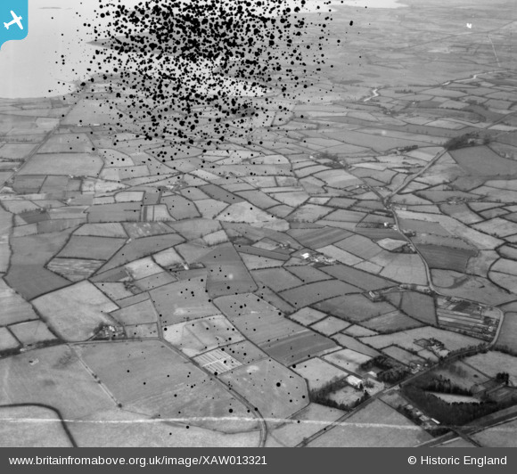
XAW013321 NORTHERN IRELAND (1948). I.C.I,. Ltd., Lurgan, Craigavon, Northern Ireland, 1948. Oblique aerial photograph taken facing North. This image has been produced from a damaged negative.
© Copyright OpenStreetMap contributors and licensed by the OpenStreetMap Foundation. 2024. Cartography is licensed as CC BY-SA.
Nearby Images (3)
XAW013321

XAW013327

XAW013322

Details
| Title | [XAW013321] I.C.I,. Ltd., Lurgan, Craigavon, Northern Ireland, 1948. Oblique aerial photograph taken facing North. This image has been produced from a damaged negative. |
| Reference | XAW013321 |
| Date | 15-February-1948 |
| Link | |
| Place name | LURGAN |
| Parish | NORTHERN IRELAND |
| District | |
| Country | NORTHERN IRELAND |
| Easting / Northing | 120056, 518436 |
| Longitude / Latitude | -6.323677, 54.48381 |
| National Grid Reference |
Pins
Be the first to add a comment to this image!


