
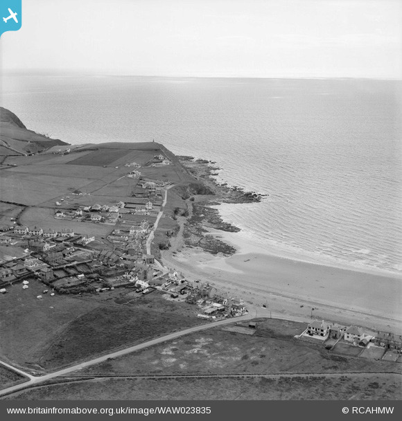
WAW023835 WALES (1949). General view of Upper Borth
© Copyright OpenStreetMap contributors and licensed by the OpenStreetMap Foundation. 2024. Cartography is licensed as CC BY-SA.
Nearby Images (4)
WAW023832

WAW023833

WAW023834

WAW023835

Details
| Title | [WAW023835] General view of Upper Borth |
| Reference | WAW023835 |
| Date | 1949 |
| Link | Coflein Archive Item 6414046 |
| Place name | |
| Parish | |
| District | |
| Country | WALES |
| Easting / Northing | 260800, 289000 |
| Longitude / Latitude | -4.0500008128542, 52.480775659438 |
| National Grid Reference | SN608890 |
Pins
Be the first to add a comment to this image!


