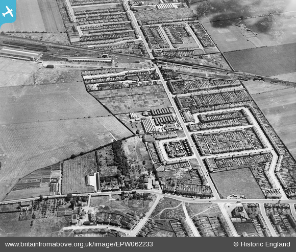
EPW062233 ENGLAND (1939). New North Road and environs, Fairlop, 1939

© Copyright OpenStreetMap contributors and licensed by the OpenStreetMap Foundation. 2024. Cartography is licensed as CC BY-SA.

Nearby Images (5)

EPW062233
  0° 0m
EPW062241
  288° 31m
EPW062234
  145° 64m
EPW062242
  172° 69m
EPW062232
  135° 93m

Details

Title [EPW062233] New North Road and environs, Fairlop, 1939
Reference EPW062233
Date 25-July-1939
Link
Place name FAIRLOP
Parish
District
Country ENGLAND
Easting / Northing 544747, 191505
Longitude / Latitude 0.090342705859491, 51.603284312245
National Grid Reference TQ447915

Pins

A row of shops now, Cooper's the hairdressers was here until the late 90's. White's the dry cleaners is still here. Ernie's fish bar is now a kebab/grill shop. Simmonds the newsagents is still there. There used to be a video rental shop as well.

Jenny Karling
Friday 29th of May 2015 06:47:24 PM
Oakfields playing fields is to be developed even though it is Green Belt land, Redbridge council have authorised it to be released as early as January 2016. This willinclude about 800 homes, a school and a health centre.

Jenny Karling
Friday 29th of May 2015 06:41:46 PM
The Kelvin Hughes factory is now in the process of being demolished to make way for a housing development.

Jenny Karling
Friday 29th of May 2015 06:40:11 PM
This became the Volvo dealership, which also sold fuel until around 1994/95. The car showroom remained open for a few more years and was then empty and is now being refurbished to make way for a LIDL supermarket.

Jenny Karling
Saturday 16th of November 2013 11:54:19 AM
The Kelvin Hughes factory. This building has been empty since the summer of 2012 and development plans are in the pipeline, for homes, a park and commercial buildings.

Jenny Karling
Saturday 19th of October 2013 11:55:30 AM
During the 1939-45 war the depot building was used by the US Corp of Transport.

Maurice
Thursday 5th of September 2013 10:54:09 PM
Although these look like tube trains, it is surprising to see them here in 1939, before the electrification of the route was completed.

Maurice
Thursday 5th of September 2013 10:52:48 PM
Eventually tracks would be laid here to connect with the carriage cleaning sheds to the left.

Maurice
Thursday 5th of September 2013 10:51:27 PM
Bridge abutments in place to carry the new bridge to give access to the depot.

Maurice
Thursday 5th of September 2013 10:50:26 PM
Work under way on the conversion of the LNER route and Hainault station to use by the Central Line tube services. This project was suspended between 1939 and 1946, finally being completed in late 1947. The the left of the pin the extension of some arches has been started while to right there are some new piers in place. The extension provide additional platforms for the station and access to the large depot to the north (left) of the bridge across New Road.

Maurice
Thursday 5th of September 2013 10:49:31 PM
The Co Op supermarket now stands here.

Jenny Karling
Thursday 5th of September 2013 08:20:45 PM
Hazelbrouck Gardens was later extended, under the railway bridge you can see here, when the Forest Farm allotments were built.

Jenny Karling
Thursday 5th of September 2013 08:18:59 PM
Hazelbrouck Gardens, built in 1927.

Jenny Karling
Thursday 5th of September 2013 08:16:33 PM
Trelawney Road

Jenny Karling
Thursday 5th of September 2013 08:15:30 PM

Jenny Karling
Thursday 5th of September 2013 08:14:55 PM
This is 52 Hazelbrouck Gardens. When I lived at number 60, I used to use the alleyway that ran at the back of the houses. At the far end of the garden of number 52, there was an old Anderson WW2 air raid tin shelter.

Jenny Karling
Thursday 5th of September 2013 08:08:17 PM
The garden of my old house, I lived here from 1993 until 2012.

Jenny Karling
Thursday 5th of September 2013 07:25:12 PM