
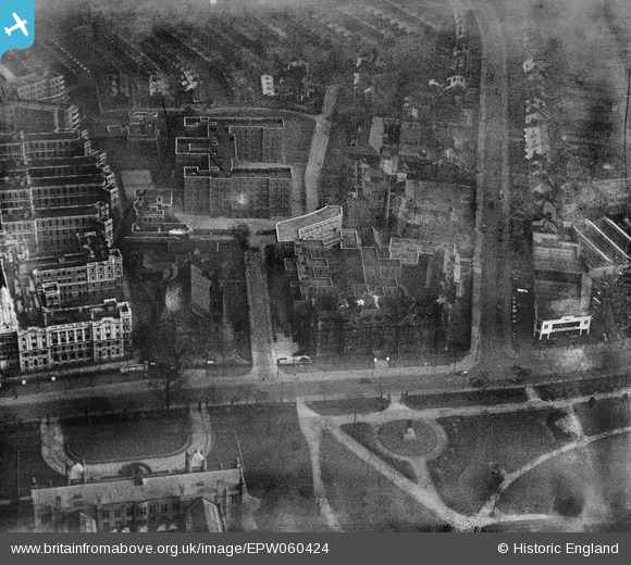
EPW060424 ENGLAND (1939). St Mary's Hospital, Manchester, 1939
© Copyright OpenStreetMap contributors and licensed by the OpenStreetMap Foundation. 2024. Cartography is licensed as CC BY-SA.
Nearby Images (16)
EPW060424

EPW060430

EPW060432

EPW060428

EPW060429

EPW060433

EPW060426

EPW060427

EPW060425

EPW060431

EPW016726

EPW060423

EPW017615

EPW016725

EPW019134

EPW055072

Details
| Title | [EPW060424] St Mary's Hospital, Manchester, 1939 |
| Reference | EPW060424 |
| Date | 6-February-1939 |
| Link | |
| Place name | MANCHESTER |
| Parish | |
| District | |
| Country | ENGLAND |
| Easting / Northing | 385028, 395926 |
| Longitude / Latitude | -2.2255190251165, 53.459615958763 |
| National Grid Reference | SJ850959 |
Pins
 JaneAB |
Friday 23rd of August 2013 04:47:26 PM |


