
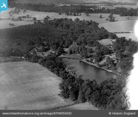
EPW059332 ENGLAND (1938). Old Hall Pond, Thorndon Park, 1938
© Copyright OpenStreetMap contributors and licensed by the OpenStreetMap Foundation. 2024. Cartography is licensed as CC BY-SA.
Nearby Images (2)
EPW059332

EPW059331

Details
| Title | [EPW059332] Old Hall Pond, Thorndon Park, 1938 |
| Reference | EPW059332 |
| Date | 12-September-1938 |
| Link | |
| Place name | THORNDON PARK |
| Parish | HERONGATE AND INGRAVE |
| District | |
| Country | ENGLAND |
| Easting / Northing | 562669, 190029 |
| Longitude / Latitude | 0.3482551009054, 51.585130996731 |
| National Grid Reference | TQ627900 |
Pins
Be the first to add a comment to this image!


