
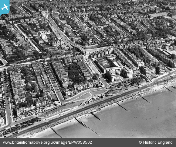
EPW058502 ENGLAND (1938). Clifton Drive and environs, Westcliff-on-Sea, 1938
© Copyright OpenStreetMap contributors and licensed by the OpenStreetMap Foundation. 2024. Cartography is licensed as CC BY-SA.
Nearby Images (18)
EPW058502

EAW053101

EPW016560

EPW024894

EPW032904

EPW037021

EAW053088

EPW036996

EPW024865

EPW054668

EAW053092

EPW036729

EPW037025

EPW024878

EPW000539

EPW037023

EPW040969

EPW036710

Details
| Title | [EPW058502] Clifton Drive and environs, Westcliff-on-Sea, 1938 |
| Reference | EPW058502 |
| Date | 3-August-1938 |
| Link | |
| Place name | WESTCLIFF-ON-SEA |
| Parish | |
| District | |
| Country | ENGLAND |
| Easting / Northing | 586743, 185364 |
| Longitude / Latitude | 0.6929174126622, 51.535764806632 |
| National Grid Reference | TQ867854 |
Pins
 Neil Dalley |
Monday 30th of March 2020 12:54:14 PM |


