
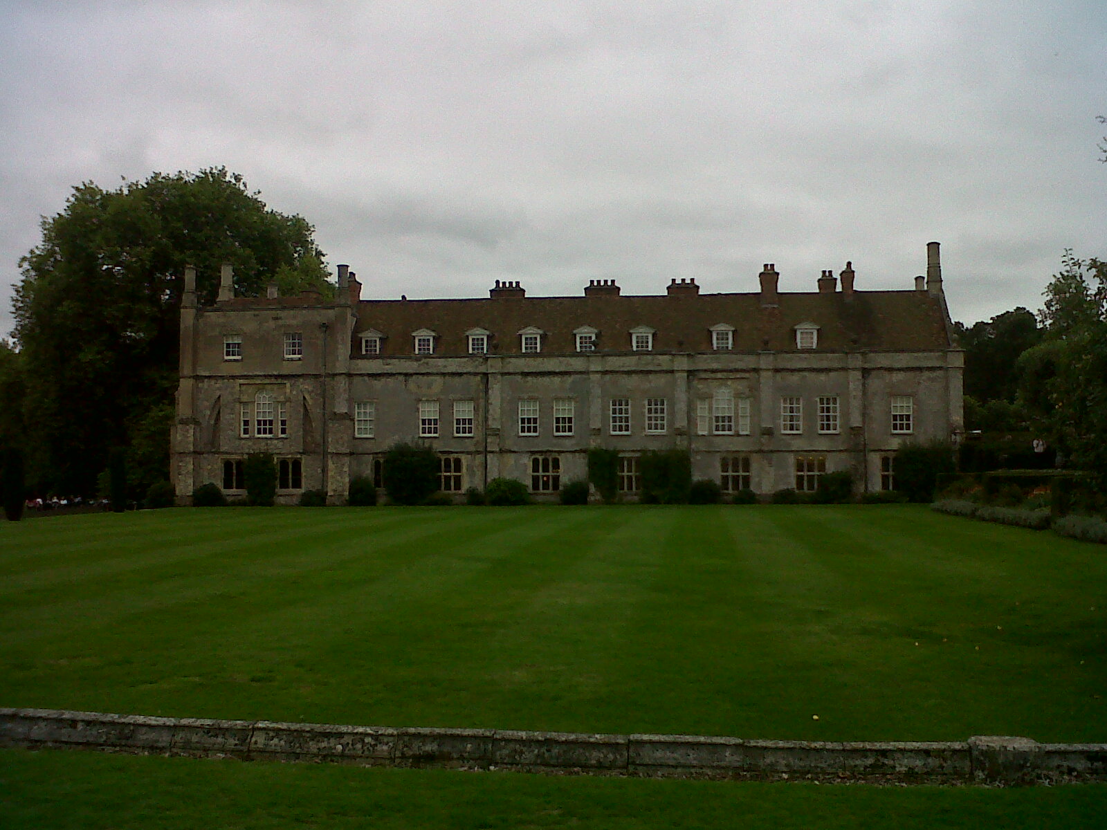
EPW056973 ENGLAND (1938). Mottisfont Abbey, Mottisfont, 1938

© Copyright OpenStreetMap contributors and licensed by the OpenStreetMap Foundation. 2024. Cartography is licensed as CC BY-SA.
Nearby Images (11)
EPW056973

EPW056956

EPW056972

EPW056974

EPW056959

EPW057413

EPW056957

EPW057416

EPW056958

EPW057420

EPW057411

Details
| Title | [EPW056973] Mottisfont Abbey, Mottisfont, 1938 |
| Reference | EPW056973 |
| Date | 26-April-1938 |
| Link | |
| Place name | MOTTISFONT |
| Parish | MOTTISFONT |
| District | |
| Country | ENGLAND |
| Easting / Northing | 432669, 126932 |
| Longitude / Latitude | -1.5339786910706, 51.040277563661 |
| National Grid Reference | SU327269 |
Pins
Be the first to add a comment to this image!
User Comment Contributions
 Mottisfont Abbey 22/09/2013 |
 Class31 |
Thursday 26th of September 2013 03:39:56 PM |


